Description
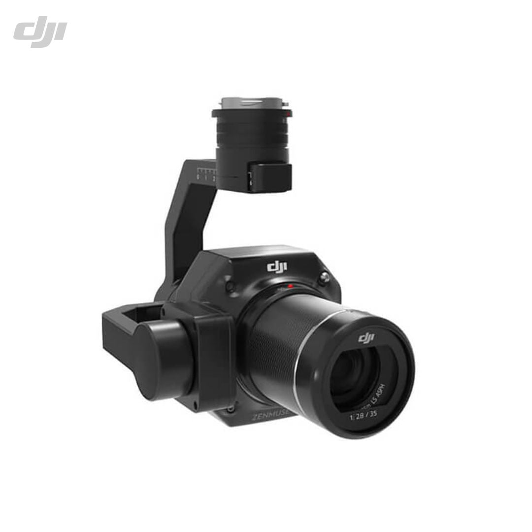
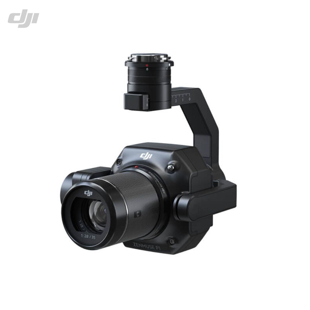
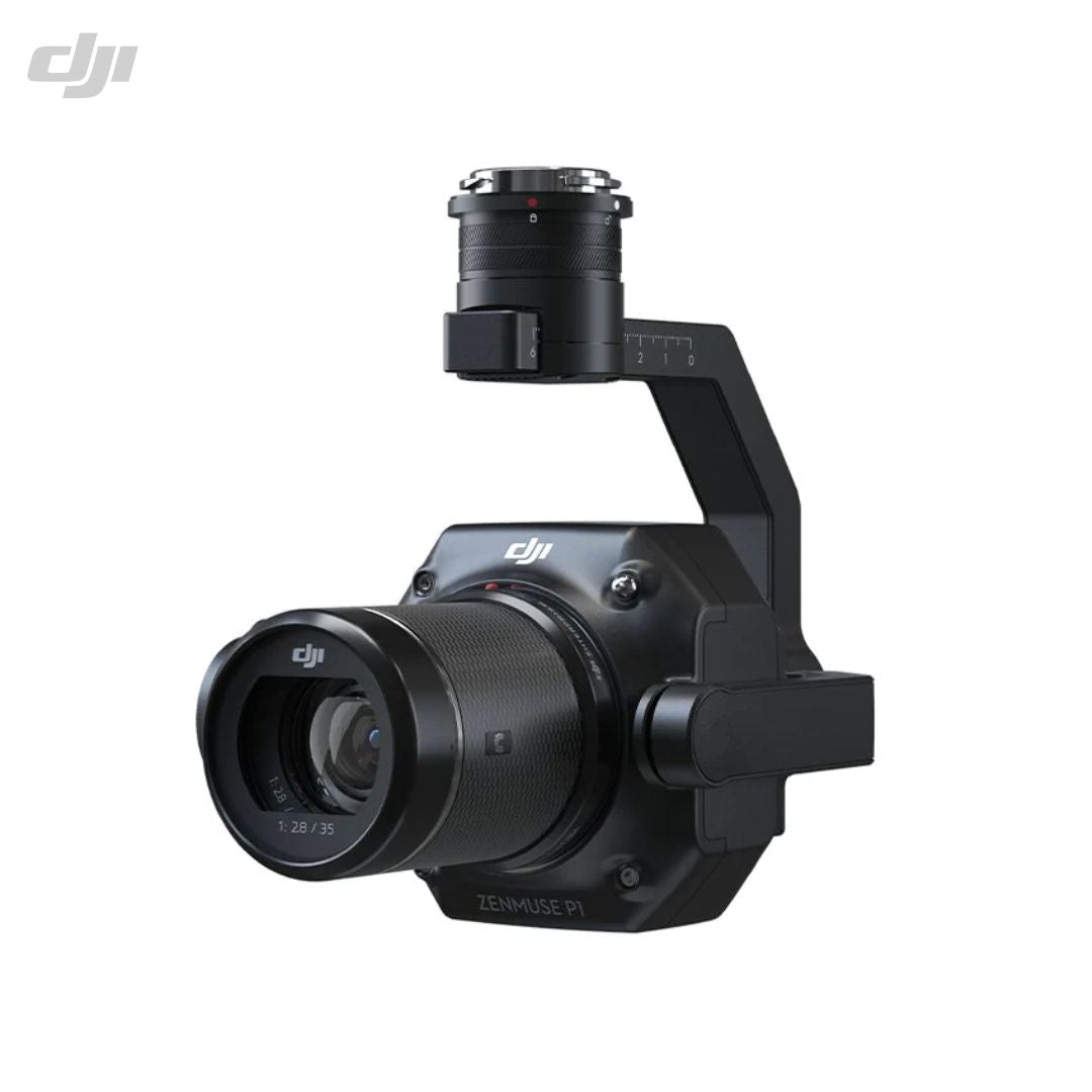
The DJI Zenmuse P1 payload is a go-to tool for aerial photogrammetry. It consists of a full-frame camera with a 45 MP full-frame sensor and interchangeable fixed-focus lens options with a global mechanical shutter, attached to a 3-axis stabilized gimbal. With its remarkable efficiency and accuracy, the Zenmuse P1 provides a whole new level of aerial surveying.
The Zenmuse P1 can be highly useful in cadastral surveying, natural resource management, topographic mapping, geological investigation, AEC and surveying, and disaster site modelling operations.
Specifications
DJI Zenmuse P1 |
|
|
Dimensions: |
(LxWxH): 198×166×129 mm |
|
Weight: |
Approx. 800 g |
|
Power: |
20W |
|
IP Rating: |
IP4X |
|
Supported Aircraft: |
Matrice 300 RTK |
|
Absolute Accuracy: |
Horizontal 3 cm, Vertical 5 cm |
Camera |
|
|
Sensor: |
Sensor size (Still) 35.9×24 mm (Full frame) | Sensor size (Max video recording area) 34×19 mm | Effective Pixels 45MP | Pixel size 4.4 μm |
|
Supported Lenses: |
DJI DL 24mm F2.8 LS ASPH (with lens hood and balancing ring/filter), FOV 84° | DJI DL 35mm F2.8 LS ASPH (with lens hood and balancing ring/filter), FOV 63.5° | DJI DL 50mm F2.8 LS ASPH (with lens hood and balancing ring/filter), FOV 46.8° |
|
Supported SD Cards: |
SD UHS-I rating or above | Max capacity 512 GB |
|
Storage Files: |
Photo / GNSS Raw Observation Data/ Image Log File |
|
Photo Size: |
8192×5460 (3:2) |
|
Shutter Speed: |
Mechanical Shutter Speed 1/2000-1 s (Aperture value no larger than f/5.6) | Electronic Shutter Speed 1/8000-1 s |
|
ISO Range: |
Photo 100-25600 | Video 100-25600 |
Video |
|
|
Video Format: |
MP4,MOV |
|
Video Resolution: |
1920×1080 (16:9) | 3840×2160 *Only 35mm lens supported |
|
Frame Rate: |
60fps |
Gimbal |
|
|
Stabilized System: |
3-axis (tilt, roll, pan) |
|
Angular Vibration Range: |
±0.01° |
|
Mount: |
Detachable DJI SKYPORT |
|
Mechanical Range: |
Tilt -130° to +40° | Roll -55° to +55° | Pan ±320° |
Need more information?
Estimate shipping
Need Training?
Browse our range of courses designed to get you started in the drones and remote sensing industry. From required, CAA approved training to learning how to operate advanced remote sensing equipment, iRed have you covered.
Browse Training Courses
