Description
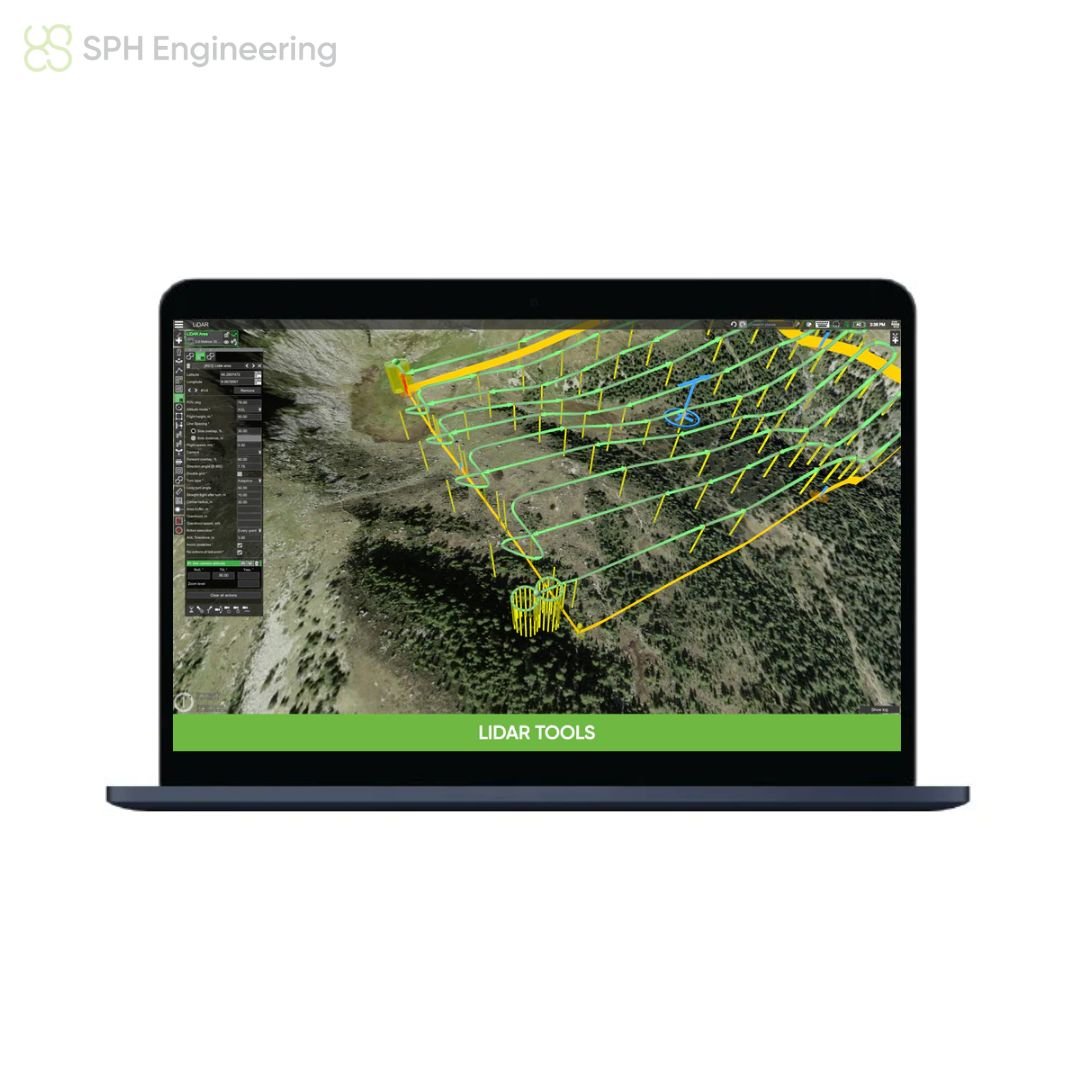
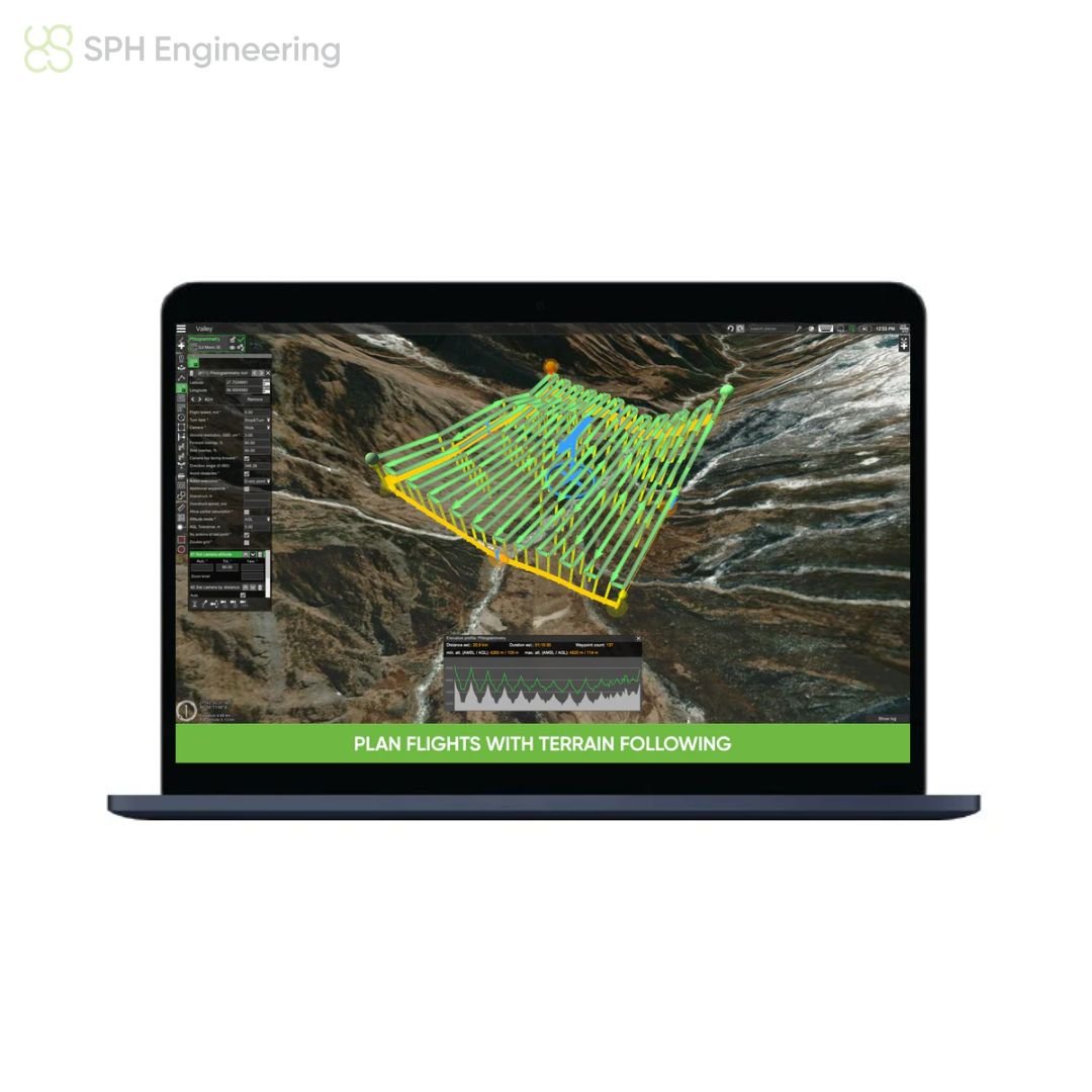
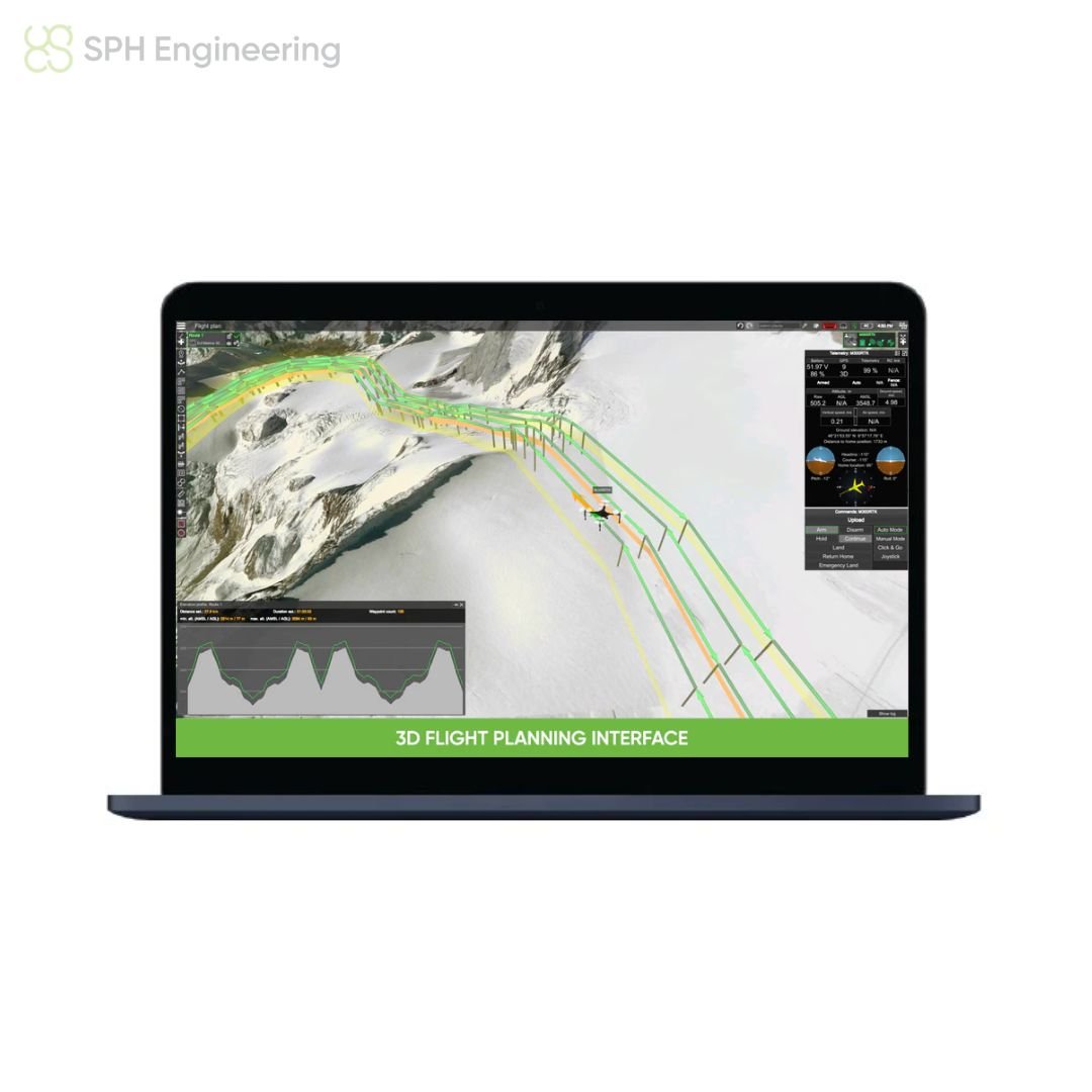
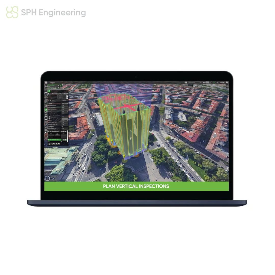
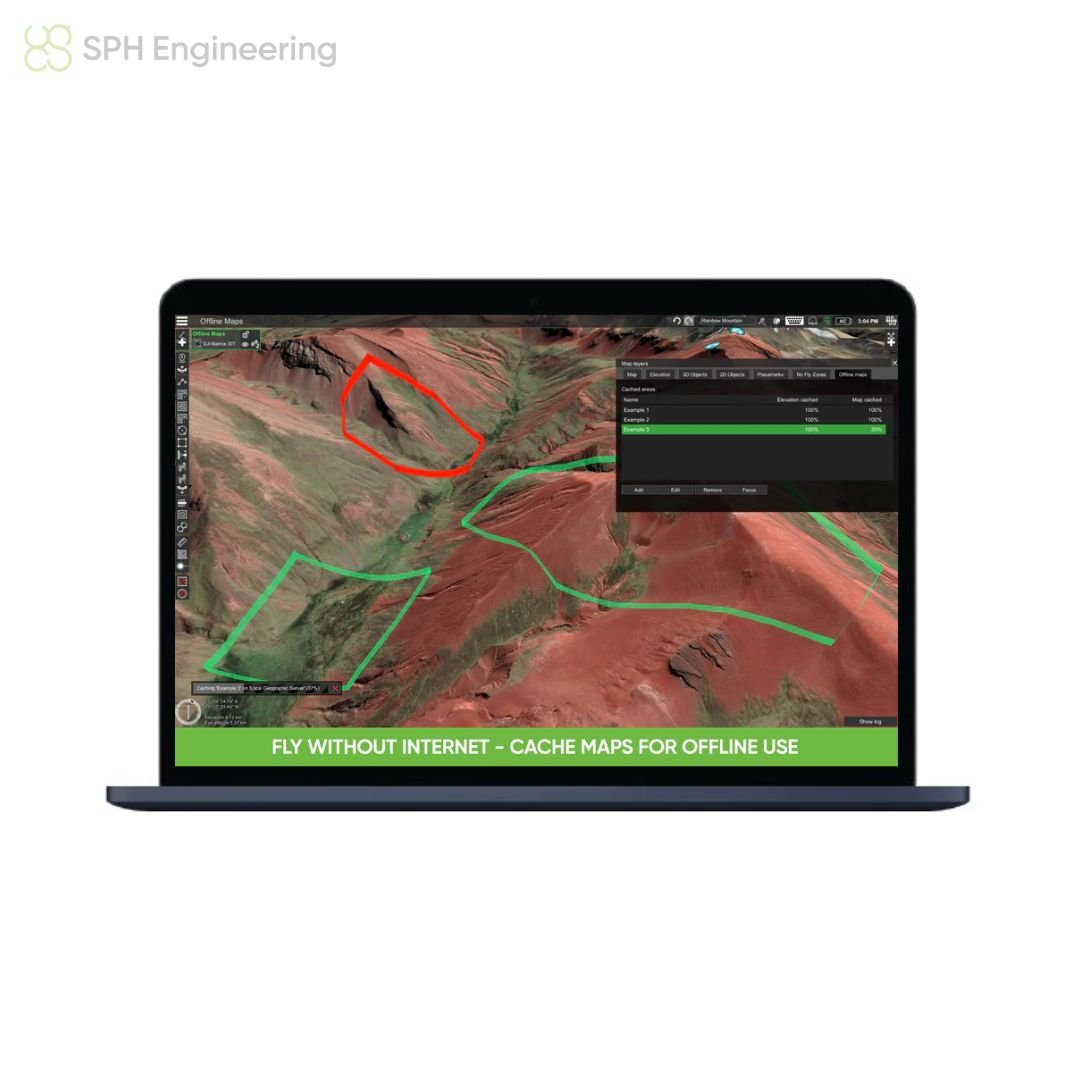
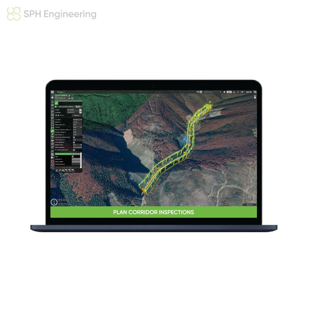
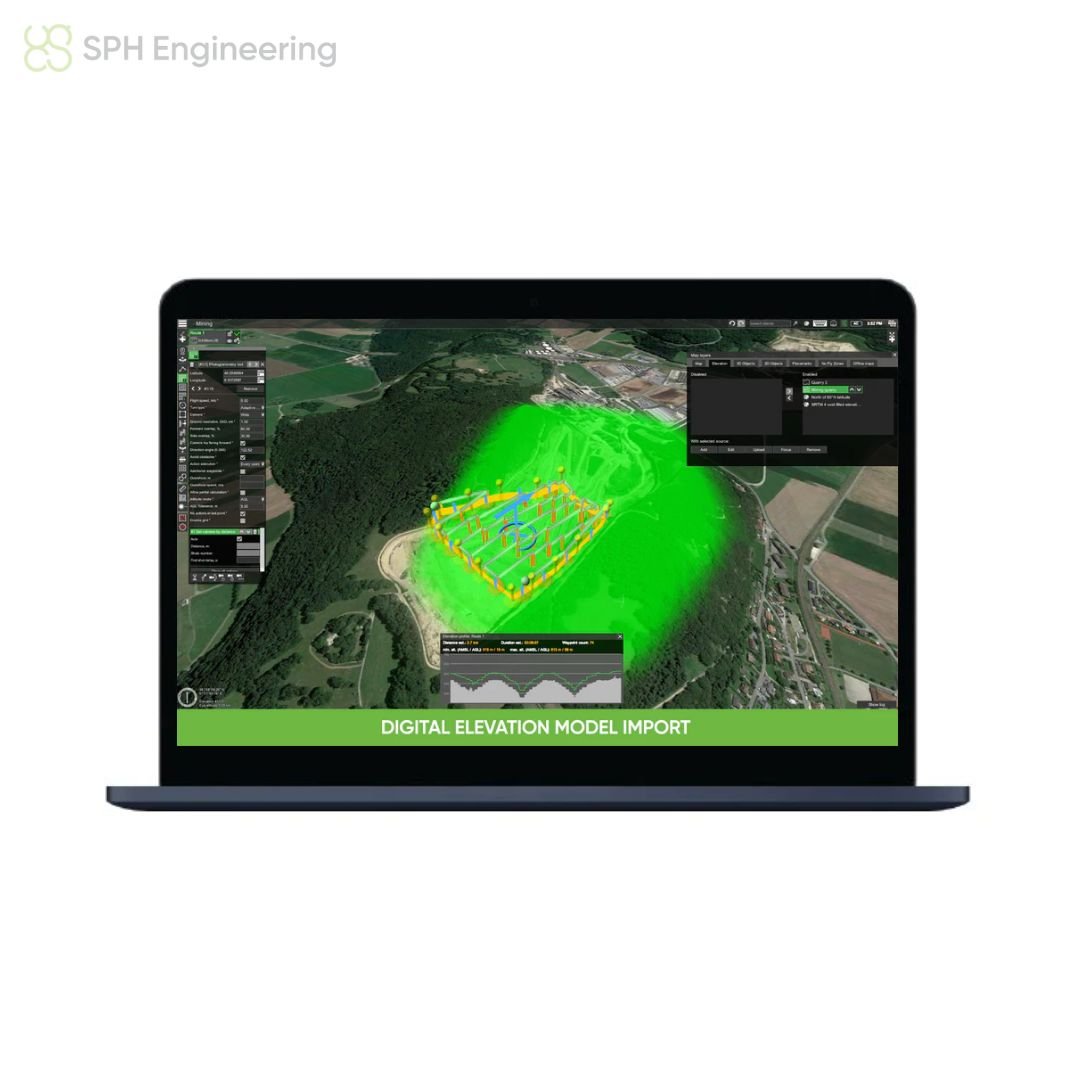
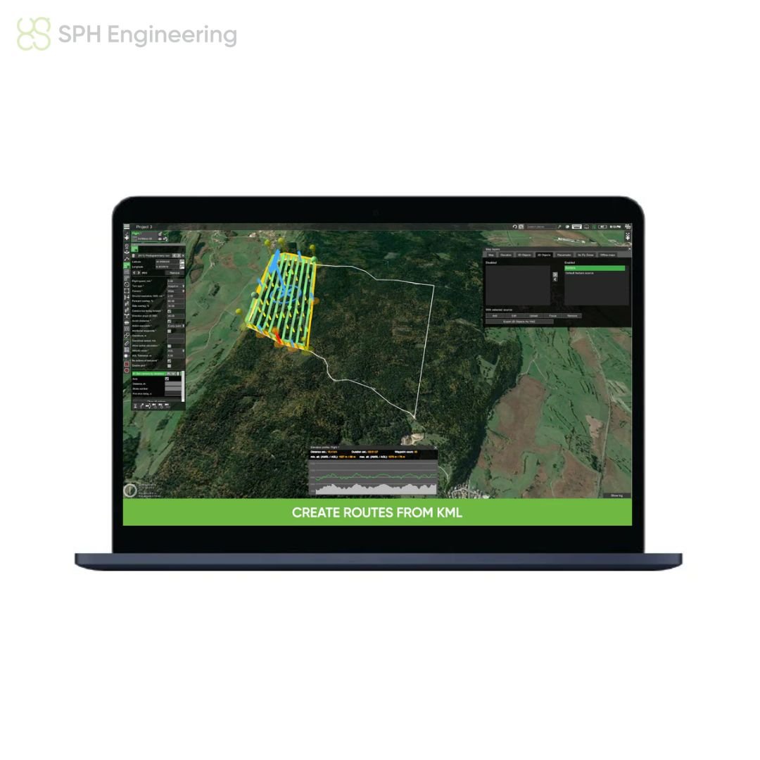
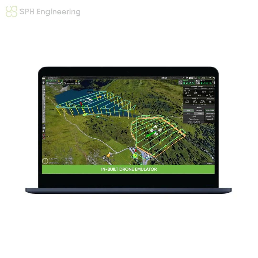
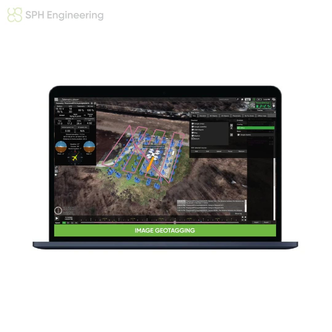
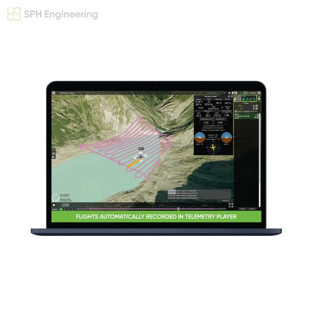
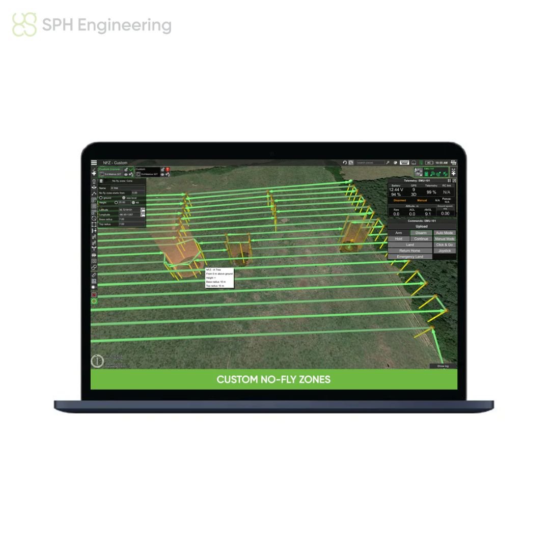
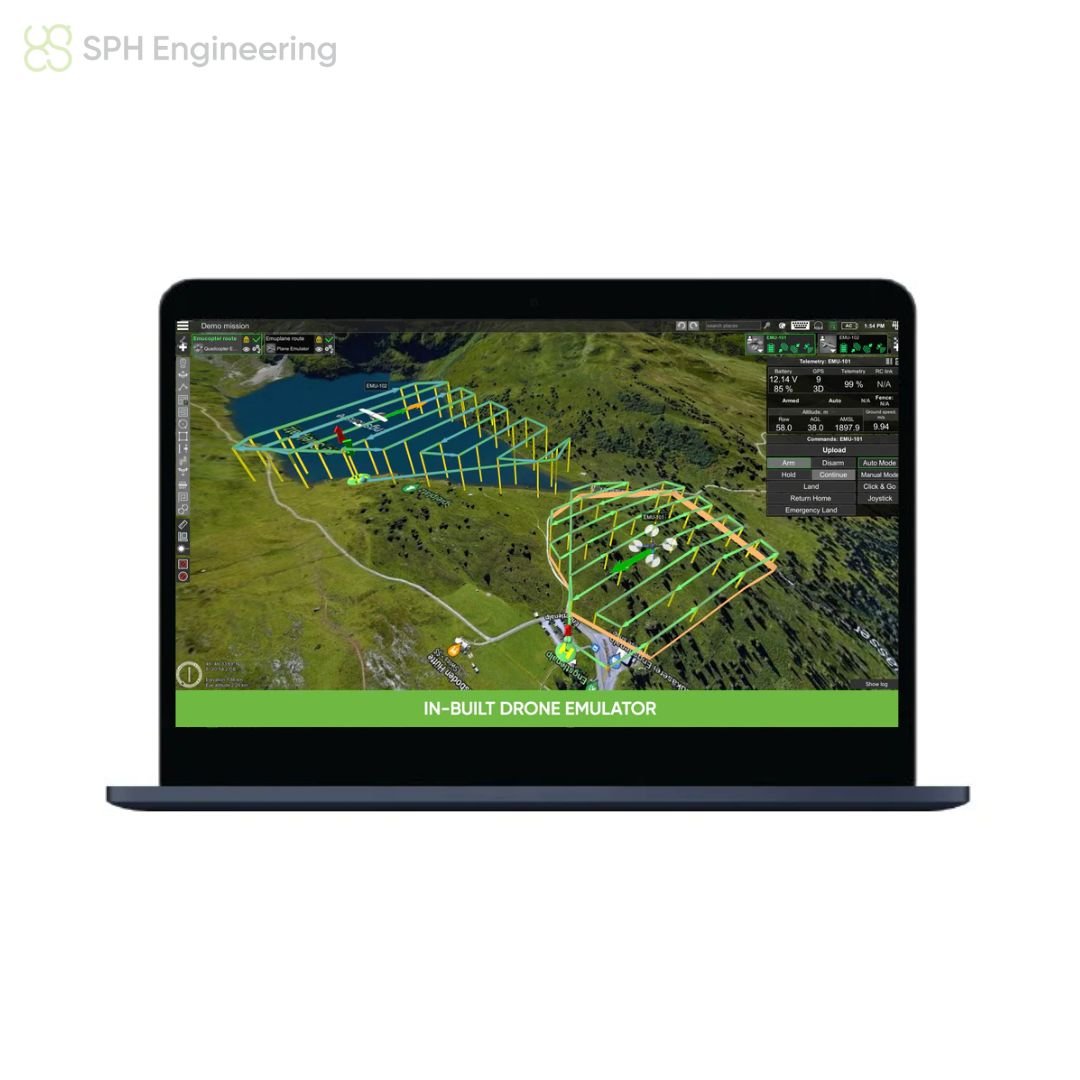
UgCS Expert can help you significantly decrease the time spent on LiDAR flight planning and can also increase the quality of gathered data with its industry-leading LiDAR flight planning algorithms. UgCS Expert can also automate LiDAR IMU calibrations and includes all the features of UgCS Pro and other LiDAR surveying tools. UgCS Expert can also help in 3D flight planning, terrain follow flights, offline maps, area scans, photogrammetry, route import from KML or CSV data, automatic telemetry recording, custom map overlays, and many more applications. It is also compatible with UgCS Mapper software, which can help process images to create map overlays.
UgCS Expert is a very useful piece of software that has applications across various industries, including construction, energy, oil and gas, agriculture and forestry, mining, and many more.
Specifications
| Compatible Drones: | UgCS supports most popular UAV platforms and UgCS Expert LiDAR toolset is currently compatible with DJI M300, DJI M600, DJI M2X0 and other DJI Drones. |
| Compatible LiDAR Sensors: | Although all LiDAR sensors can be supported by UgCS Expert but officially supported sensors (manufacturers) are DJI L1, YellowScan, Phoenix LiDAR, RIEGL, LiDAR USA, GeoCue, Rock Robotics, GeoSun LiDAR, 3DT Scanfly, Topodrone, and Balko Tech. |
| Licence Details: | Perpetual (Own forever) | One year support and updates are included |
| Technical Details: | Installs locally on computer | Compatible with Windows, MacOS, and Ubuntu 18.04 | UgCS for DJI (Android app) to be used for connecting with DJI drones |
Need more information?
Estimate shipping
Need Training?
Browse our range of courses designed to get you started in the drones and remote sensing industry. From required, CAA approved training to learning how to operate advanced remote sensing equipment, iRed have you covered.
Browse Training Courses
