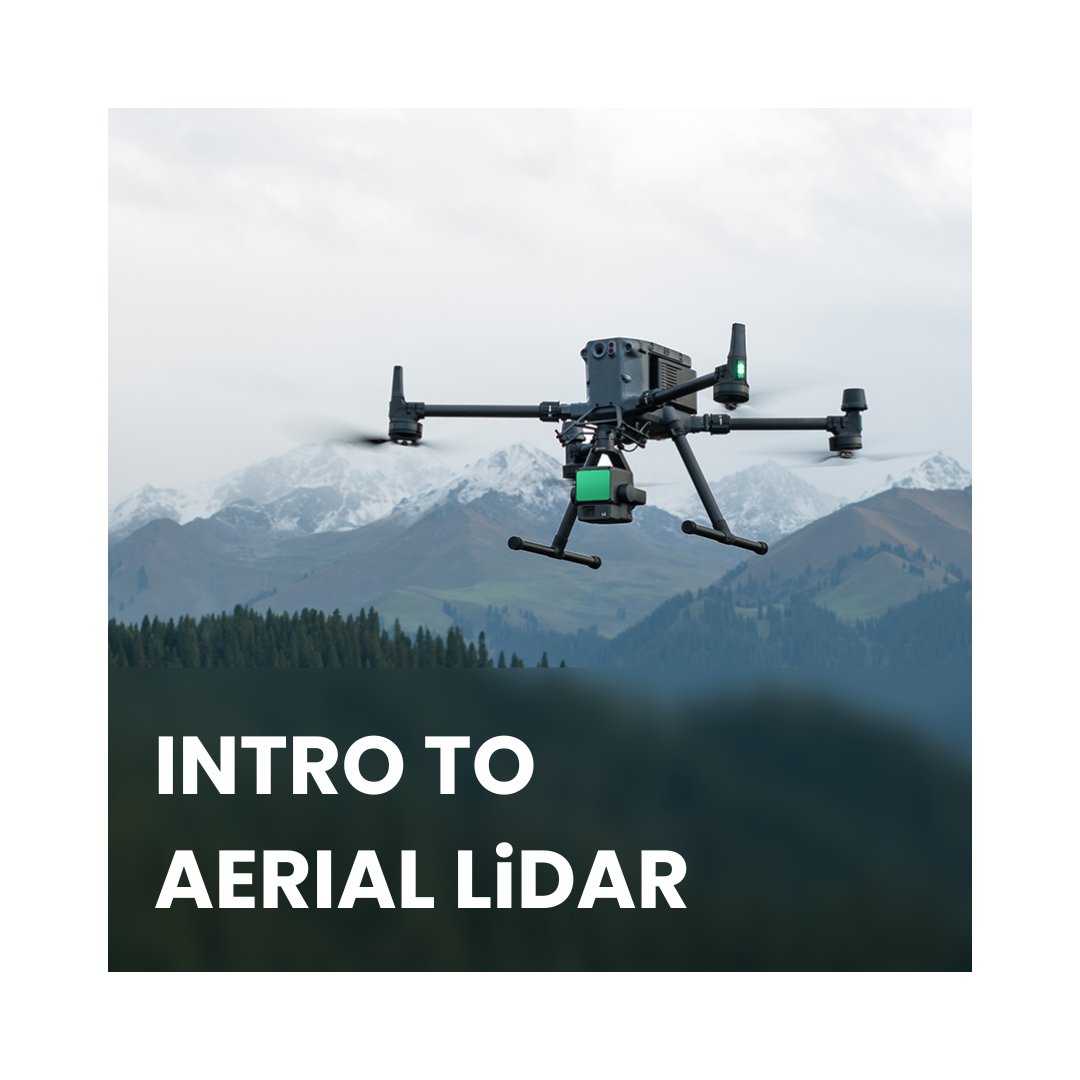
Description
Course Duration: Can be a full-day intensive course, a 2-3 day workshop, or spread over several shorter sessions depending on depth desired.
Target Audience: Professionals with a background in GIS, surveying, remote sensing, forestry, or environmental sciences. Beginners welcome, but a basic understanding of geospatial concepts is helpful.
Course Objectives
| Understand the fundamental principles of LiDAR technology |
| Learn about different types of aerial LiDAR systems and their applications |
| Become familiar with the LiDAR data acquisition workflow |
| Gain hands-on experience with basic LiDAR data processing and visualisation. |
| Explore real-world case studies of LiDAR applications. |
Course Itinerary
Module 1: LiDAR Fundamentals
Module 2: Aerial LiDAR Systems and Platforms
Module 3: LiDAR Data Acquisition Workflow
Module 4: Introduction to LiDAR Data Processing
Module 5: LiDAR Data Visualisation and Analysis
Module 6: LiDAR Applications and Case Studies
Hands-On Activities
(Interspersed throughout the course)
Assessment
| Quizzes or short knowledge checks throughout the course |
| Participation in discussions and activities |
| Final project presentation (if applicable) |

