Description
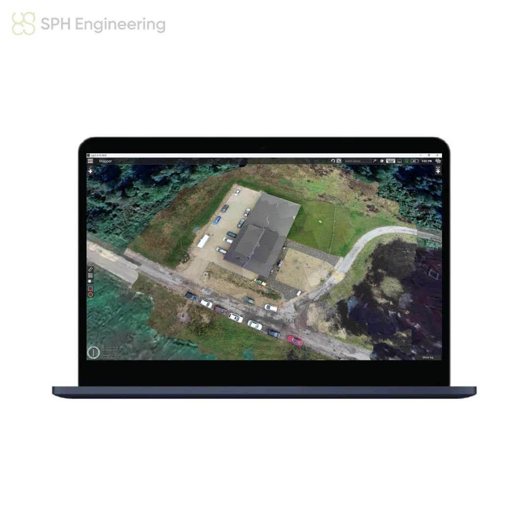
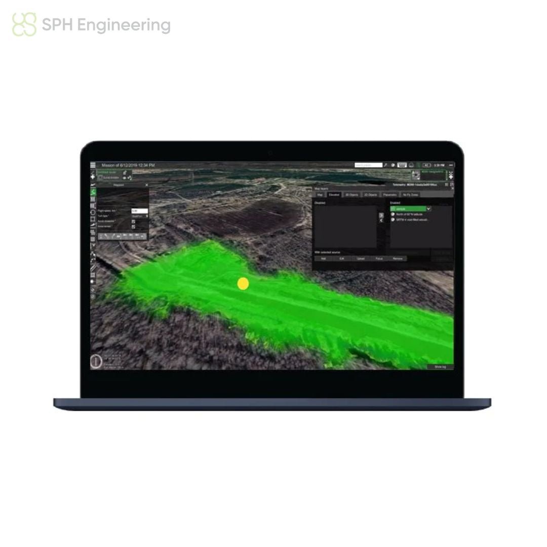
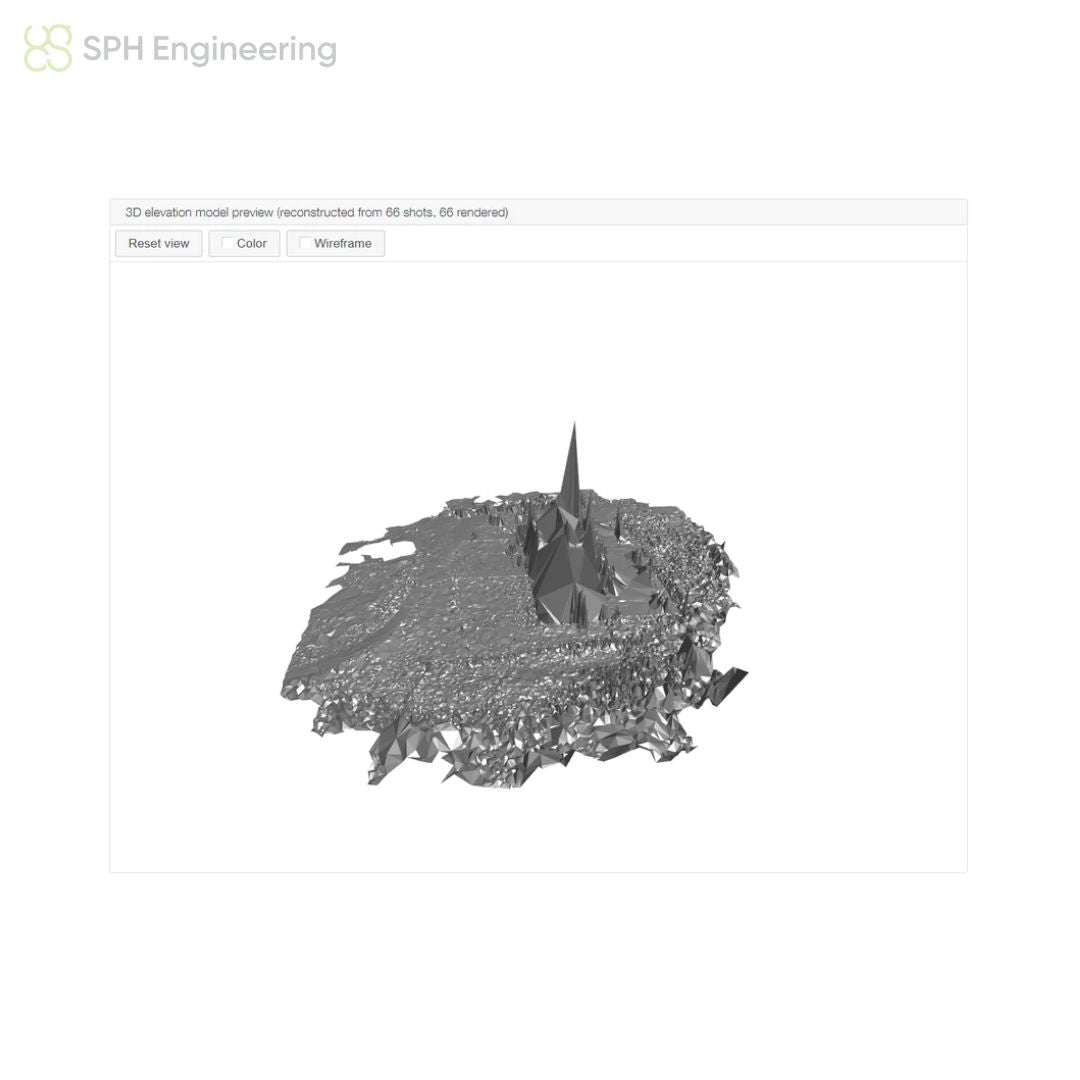
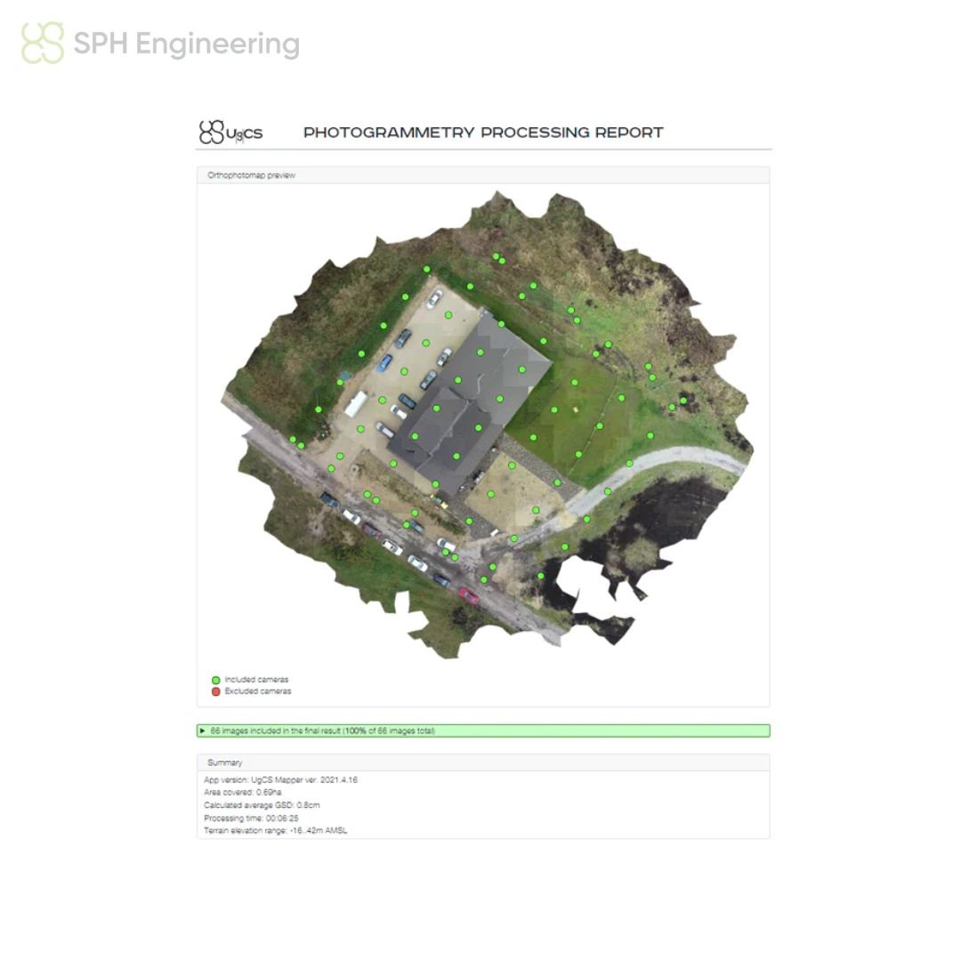
UgCS Mapper is a cost-effective image and video processing software to create 2D maps and elevation models with drones. Essentially, UgCS Mapper is a versatile 2D map stitching software, with which aerial images (including multispectral) can be stitched into one orthomosaic or maps can be created.
The best part about UgCS Mapper is that it works offline as well and can create up-to-date maps and elevation data on the fly. It can be used across various industries, including agriculture, mining, quarrying, solar energy, construction, surveying, mapping, and more.
Licence Details: Perpetual (Own forever) | One year support and updates are included
Technical Details: Installs locally on computer | Compatible with Windows, MacOS, and Ubuntu 18.04 | UgCS for DJI (Android app) to be used for connecting with DJI drones
Need more information?
Estimate shipping
Need Training?
Browse our range of courses designed to get you started in the drones and remote sensing industry. From required, CAA approved training to learning how to operate advanced remote sensing equipment, iRed have you covered.
Browse Training Courses
