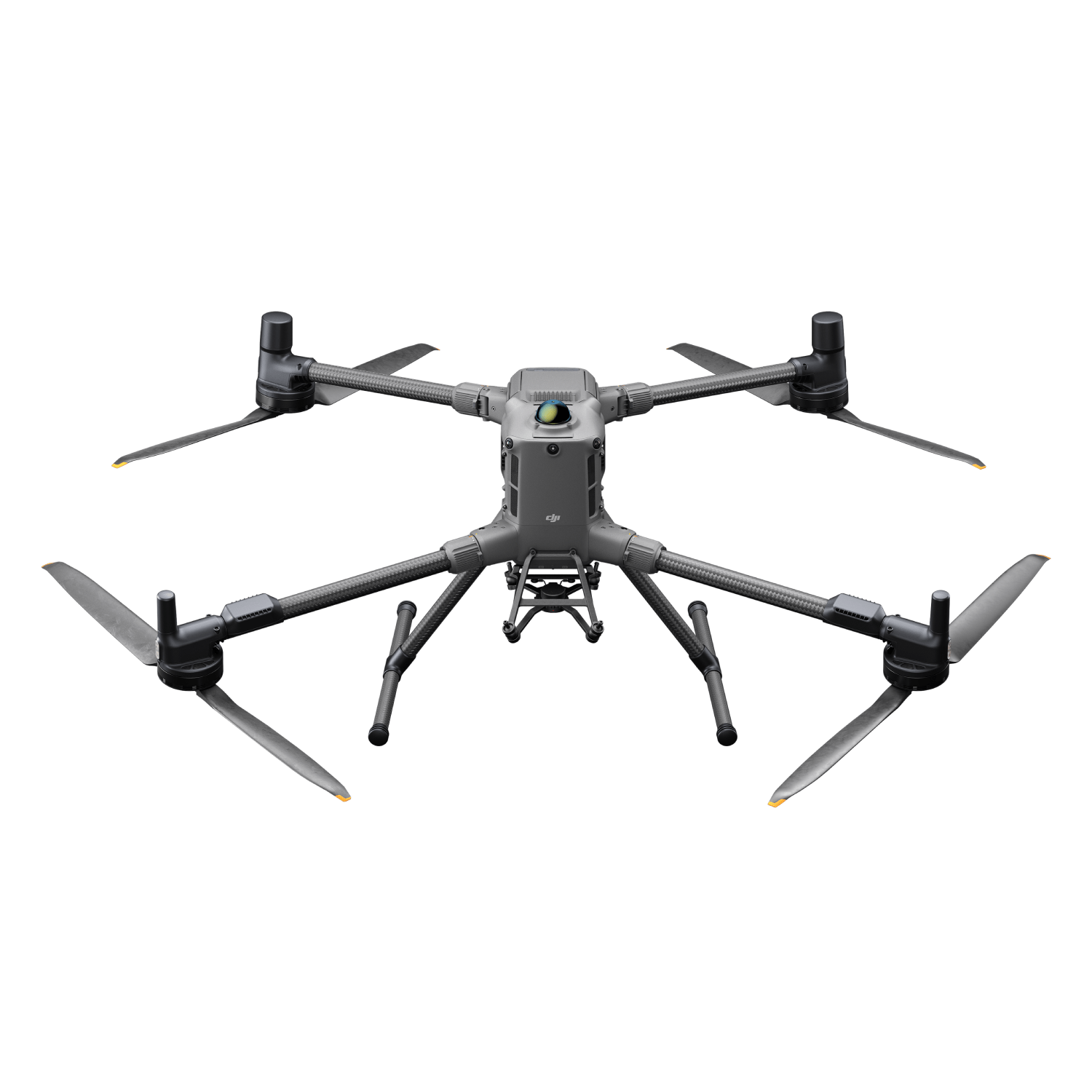


Description
DJI Matrice 400, the enterprise flagship drone platform, boasts an impressive 59-minute flight time, a payload capacity of up to 6 kg, and integrated rotating LiDAR and mmWave radar for power-line-level obstacle sensing. It also supports the O4 Enterprise Enhanced Video Transmission System and Airborne Relay Video Transmission ensuring safer handling and easier operations. Combining Smart Detection with visible and thermal imaging, AR projection, ship-based takeoff/landing, and advanced automation, Matrice 400 excels in emergency response, power inspections, mapping, and AEC.
Extended Flight Time, High Speed Performance
- 59-Min Max Flight Time (with H30T)
- 25m/s Max Horizontal Speed
- 10m/s Max Ascent Speed
- 8m/s Max Descent Speed
Safe and Reliable Flight
- IP55 Rating, Operates from -20°C to 50°C
- Power-Line-Level Obstacle Sensing with LiDAR and mmWave Radar
- O4 Enterprise Enhanced Transmission with Dual Cellular Dongle 2 and sub2G Channels Support
- Airborne Relay Video Transmission for Over-Mountain Operations
- Fusion Positioning
Easier Automated Operations
- Power Line Follow with Zenmuse L2
- Slope Route
- Geometric Route
6kg Payload Capacity with Versatile Compatibility
- 6kg Max Payload
- Supports up to 7 Payloads Simultaneously
- Compatible with Manifold 3
- Compatible with Zenmuse S1 Spotlight and V1 Speaker
- Open Data Interfaces for Drone Payloads, LiDAR, and mmWave Radar
Enhanced Intelligence and Efficiency
- Visual and Thermal Imaging Model Detection
- AR Projection of Maps, Power Lines, and Return Paths
- Real-Time Manual Terrain Follow
- Takeoff and Landing on Ships
- Flyto, Cruise, Smart Track, POI
Comprehensive Accessory Upgrades
- TB100 Battery with up to 400 Charge Cycles
- BS100 Battery Station with 3-Battery Cycle Charging
- Compatible with TB100C Tethered Battery
- DJI Cellular Dongle 2
- DJI RC Plus 2 Enterprise Enhanced
Specifications
Aircraft
|
Takeoff Weight (with propellers)
|
Without Batteries: 5020±20 g With Batteries: 9740±40 g
The actual product weight may vary due to differences in batch materials and external factors. |
|
Max Takeoff Weight
|
15.8 kg |
|
Dimensions
|
Unfolded: 980×760×480 mm (L×W×H) (with landing gear) Folded: 490×490×480 mm (L×W×H) (with landing gear and gimbal)
Maximum dimensions excluding propellers.
Aircraft carrying case dimensions: 779×363×528 mm (L×W×H) |
|
Max Payload |
6 kg
The 6 kg payload is measured at the third gimbal connector under sea level conditions. Payload capacity decreases as altitude increases. For details, refer to the official user manual. |
|
Propeller Size |
25 inches |
|
Diagonal Wheelbase |
1070 mm |
|
Max Ascent Speed |
10 m/s |
|
Max Descent Speed |
8 m/s |
|
Max Horizontal Speed (at sea level, no wind) |
25 m/s |
|
Max Takeoff Altitude |
7000 m |
|
Max Flight Time (no wind) |
59 minutes
Measured with the aircraft flying forward at a constant speed of 10 m/s in a windless environment at sea level, carrying only the H30T (total weight 10,670 g), and from 100% battery level until 0%. Data is for reference only. Actual experience may vary depending on the environment, usage, and firmware version. |
|
Max Hover Time (no wind) |
53 minutes
Measured with the aircraft hovering in a windless environment at sea level, carrying only the H30T (total weight 10,670 g), and from 100% battery level until 0%. Data is for reference only. Actual usage time may vary depending on the flight mode, accessories, and environment. |
|
Max Flight Distance (no wind) |
49 km
Measured by the aircraft flying forward at a constant speed of 17 m/s in a windless environment at sea level, without external payloads, and from 100% battery level until 0%. Actual experience may vary depending on the environment, usage, and firmware version. |
|
Max Wind Speed Resistance |
12 m/s
Max wind speed resistance during takeoff and landing. |
|
Max Yaw Angular Velocity |
Yaw: 100°/s |
|
Max Pitch Angle |
35° |
|
Operating Temperature |
-20° to 50° C (-4° to 122° F) (without solar radiation) |
|
Global Navigation Satellite System (GNSS) |
GPS + Galileo + BeiDou + GLONASS*
* GLONASS is supported only when the RTK module is enabled.
Equipped with standard airborne ADS-B In receiver and dual antennas, supporting reception up to 20 km. |
|
Hovering Accuracy Range (with moderate or no wind) |
Vertical: ±0.1 m (with vision positioning) ±0.5 m (with satellite positioning) ±0.1 m (with RTK positioning)
Horizontal: ±0.3 m (with vision positioning) ±0.5 m (with satellite positioning) ±0.1 m (with RTK positioning) |
|
RTK GNSS Accuracy |
RTK Fix: 1 cm + 1 ppm (horizontal), 1.5 cm + 1 ppm (vertical) |
|
RTK Heading |
Supports RTK heading with an accuracy better than 2° |
|
Airborne ADS-B In |
Equipped with standard airborne ADS-B In receiver and dual antennas, supporting reception up to 20 km. |
|
Internal Storage |
N/A |
|
Ports |
USB-C Debug Port × 1: USB 2.0 E-Port V2 × 4: At the lower part of the drone, with 120W single-port power Cellular Dongle 2 Interface × 2: On the underside of the drone |
|
Propeller Model |
2510F |
|
Beacon |
Built into the aircraft |
|
Ingress Protection Rating |
IP55
The rating is not permanently effective and may decrease due to product wear and tear. |
Gimbal
|
Maximum Payload for Single Gimbal Connector |
1400 g
If exceeds, the gimbal damper lifespan will decrease from 1000 hours to 400 hours. |
|
Maximum Payload for Dual Gimbal Connector |
950 g |
|
Maximum Payload for Third Gimbal Connector |
3 kg for quick-release port, 6 kg for screw lock fastening |
Sensing
|
Sensing Type |
Omnidirectional binocular vision system (surround view provided by full-color fisheye vision sensors)
Horizontal rotating LiDAR, upper LiDAR and downward 3D infrared range sensor
Six-direction mmWave radar |
|
Forward |
Measurement Range: 0.4-21 m Detection Range: 0.4-200 m Field of View (FOV): 90° (horizontal), 90° (vertical) |
|
Backward |
Measurement Range: 0.4-21 m Detection Range: 0.4-200 m Field of View (FOV): 90° (horizontal), 90° (vertical) |
|
Lateral |
Measurement Range: 0.6-21 m Detection Range: 0.5-200 m Field of View (FOV): 90° (horizontal), 90° (vertical) |
|
Downward |
Measurement Range: 0.5-19 m The FOV to the front and rear is 160° and 105° to the right and left. |
|
Operating Environment |
Forward, Backward, Left, Right, and Upward: Delicate texture on the surface, adequate light.
Downward: The ground has rich textures and sufficient lighting conditions*, with a diffuse reflection surface and a reflectivity greater than 20% (such as walls, trees, people, etc.).
* Sufficient lighting conditions refer to an illuminance not lower than that of a nighttime city light scene. |
|
Rotating LiDAR |
Standard Measurement Range: 0.5-100 m @ 100,000 lux with 10% reflectivity target Measurement Range for Power Line: 35 m @ 30° @ 10,000 lux for 21.6 mm steel-core aluminum stranded wire with a relative body tilt angle of 30° to the left and right Field of View (FOV): 360° (horizontal), 58° (vertical) Point-Frequency: 520,000 points/second Laser Wavelength: 905 nm Eye Safety Level: Class 1 (IEC60825-1:2014), eye-safe |
|
Upper LiDAR (3D ToF) |
0.5-25 m at night (reflectivity > 10%) The FOV to the up and down is 60° and 60° to the right and left. |
|
Downward 3D Infrared Range Sensor |
Measurement Range: 0.3-8 m (reflectivity > 10%) The FOV to the front and rear is 60° and 60° to the right and left. |
|
mmWave Radar |
Measurement Range for Power Line: 36 m for a 12.5mm steel-core aluminum stranded wire 50 m for a 21.6mm steel-core aluminum stranded wire FOV: ± 45° (horizontal and vertical)
The mmWave radar function is unavailable in some countries/regions. |
FPV Camera
|
Resolution |
1080p |
|
Field of View (FOV) |
DFOV: 150° HFOV: 139.6° VFOV: 95.3° |
|
Frame Rate |
30fps |
|
Night Vision |
Starlight Grade |
Video Transmission
|
Video Transmission System |
DJI O4 Enterprise Enhanced Video Transmission System |
|
Live View Quality |
Remote Controller: 3-channel 1080p/30fps |
|
Operating Frequency and Transmitter Power (EIRP) |
902-928 MHz: < 30 dBm (FCC), < 16 dBm (MIC) 1.430-1.444 GHz: < 35 dBm (SRRC) 2.4000-2.4835 GHz: < 33 dBm (FCC), < 20 dBm (CE/SRRC/MIC) 5.150-5.250 GHz: < 23 dBm (FCC/CE) 5.725-5.850 GHz: < 33 dBm (FCC), < 14 dBm (CE), < 30 dBm (SRRC)
Operating frequency allowed varies among countries and regions. Refer to local laws and regulations for more information. |
|
Max Transmission Distance (unobstructed, free of interference) |
40 km (FCC) 20 km (CE/SRRC/MIC)
Measured in an unobstructed environment free of interference. The above data shows the farthest communication range for one-way, non-return flights under each standard. During your flight, please pay attention to RTH reminder on the DJI Pilot 2 app. |
|
Max Transmission Distance (with interference) |
Strong interference (dense buildings, residential areas, etc.): approx. 1.5-6 km Medium interference (suburban counties, city parks, etc.): approx. 6-15 km Weak interference (open spaces, remote areas, etc.): approx. 15-40 km
Data is tested under FCC standard in unobstructed environments of typical interference. Only to serve as a reference and provides no guarantee as to the actual flight distance. |
|
Max Download Speed |
Standard Mode: 80Mbps Downlink Playback Download: < 25 MBps Single-Channel Bitrate: ≤ 12 Mbps
The above data was measured under conditions where the aircraft and remote controller were in close proximity without interference. |
|
Antenna |
WLAN Antenna × 8: 6 vertically polarized antennas and 2 horizontally polarized antennas sub2G Antenna × 2: 2 vertically polarized antennas 4G Antenna × 4
Operating Mode: 2T4R |
|
Others |
Supports Dual Control Mode and 2-channel Cellular Dongle 2 |
Battery
|
Model |
TB100 |
|
Capacity |
20254 mAh |
|
Standard Voltage |
48.23 V |
|
Max Charging Voltage |
54.6 V |
|
Cell Type |
Li-ion 13S |
|
Energy |
977 Wh |
|
Weight |
4720 ± 20 g |
|
Charging Temperature |
5° to 45° C (41° to 113° F) |
|
Discharging Temperature |
-20° to 75° C (-4° to 122° F) |
|
Battery Heating |
Single Battery: Support Onboard: Support Battery Station: Support |
|
Discharge Rate |
4C |
|
Max Charging Power |
2C |
|
Low-Temperature Charging |
Supports low-temperature self-heating charging |
|
Cycle Count |
400 |
Intelligent Battery Station
|
Model |
BS100 |
|
Net Weight |
11.8 kg |
|
Dimensions |
605×410×250 mm (L×W×H) |
|
Supported Batteries |
TB100 Intelligent Flight Battery, TB100C Tethered Battery WB37 Battery |
|
Operating Temperature |
-20° to 40° C (-4° to 104° F) |
|
Input |
100-240 V (AC), 50-60 Hz, 10 A |
|
Output |
USB-C: TB100 Battery Interface: 100-110 V: Approx. 1185 W 110-180 V: Approx.1474 W 180-240 V: Approx. 2184 W
WB37 Battery Interface: 100-240 V: Approx. 52 W
USB-C: 5.0 V 3.0 A, 9.0 V 3.0 A, 12.0 V 3.0 A, 15.0 V 3.0 A, 20.0 V 3.25 A |
|
Number of Charging Channels |
Three TB100 and two WB37 batteries |
|
Charging Mode |
Ready-to-Fly Mode 90%; Standard Mode 100% Supports Fast Charging Mode and Silent Mode |
|
Charging Time |
TB100/TB100C Battery From 0% to 100%: 220 V: 45 minutes (Fast Charging Mode); 110 minutes (Silent Mode) 110 V: 70 minutes (Fast Charging Mode); 110 minutes (Silent Mode)
Charging time is measured in a test environment with a temperature of 25° C. |
DJI RC Plus 2 Enterprise Enhanced
|
Video Transmission System |
DJI O4 Enterprise Enhanced Video Transmission System |
|
Max Transmission Distance (unobstructed, free of interference) |
40 km (FCC) 20 km (CE/SRRC/MIC)
Measured in an unobstructed environment free of interference. The above data shows the farthest communication range for one-way, non-return flights under each standard. During your flight, please pay attention to RTH reminder on the DJI Pilot 2 app. |
|
Video Transmission Operating Frequency and Transmitter Power (EIRP) |
902-928 MHz: < 30 dBm (FCC), < 16 dBm (MIC) 2.400-2.4835 GHz: < 33 dBm (FCC), < 20 dBm (CE/SRRC/MIC) 5.150-5.250 GHz: < 23 dBm (FCC/CE) 5.725-5.850 GHz: < 33 dBm (FCC), < 14 dBm (CE), < 30 dBm (SRRC)
Operating frequency allowed varies among countries and regions. Refer to local laws and regulations for more information. |
|
Antenna |
2T4R, 2.4GHz/5.8GHz multi-beam high-gain antenna sub2G Module: 2T2R |
|
Enhanced Transmission |
Supports DJI Cellular Dongle 2 |
|
Wi-Fi Protocol |
Wi-Fi Direct, Wireless Display, IEEE 802.11 a/b/n/ac/ax Supports 2×2 MIMO Wi-Fi, dual-band simultaneous (DBS) support for dual MAC, with data rates up to 1774.5 Mbps (2×2 + 2×2 11ax dual-band simultaneous) |
|
Wi-Fi Operating Frequency |
2.4000-2.4835 GHz 5.150-5.250 GHz 5.725-5.850 GHz
5.2 and 5.8GHz frequencies are prohibited in some countries. In some countries, the 5.2GHz frequency is only allowed for use in indoor. |
|
Wi-Fi Transmitter Power (EIRP) |
2.4 GHz: < 26 dBm, < 20 dBm (CE/SRRC/MIC) 5.1 GHz: < 23 dBm (FCC/CE/SRRC/MIC) 5.8 GHz: < 23 dBm (FCC/SRRC), < 14 dBm (CE) |
|
Bluetooth Protocol |
Bluetooth 5.2 |
|
Bluetooth Operating Frequency |
2.400-2.4835 GHz |
|
Bluetooth Transmitter Power (EIRP) |
< 10 dBm |
|
Screen Resolution |
1920 × 1200 |
|
Screen Size |
7.02 inches |
|
Screen Frame Rate |
60fps |
|
Brightness |
1400 nits |
|
Touchscreen Control |
10-Point Multi-Touch |
|
Built-in Battery |
2S2P High Energy Density 18650 Lithium-ion Battery (6500 mAh @ 7.2 V) 46.8 Wh |
|
External Battery |
Optional, WB37 (4920 mAh @ 7.6 V) 37 Wh |
|
Charging Type |
Supports PD fast charging, with a maximum 20V/3.25A USB Type-C charger |
|
Storage Capacity |
RAM 8G + ROM 128G UFS + expandable storage via microSD card |
|
Charging Time |
2 hours for internal battery; 2 hours for internal plus external batteries.
When remote controller is powered off and using a standard DJI charger. |
|
Internal Battery Runtime |
3.8 hours |
|
External Battery Runtime |
3.2 hours |
|
Output Port |
HDMI 1.4 |
|
Indicators |
Status LED, battery level LED, connection status LED, tricolor light, brightness adjustable according to ambient light |
|
Speaker |
Supports buzzer |
|
Audio |
Array MIC |
|
Operating Temperature |
-20° to 50° C (-4° to 122° F) |
|
Storage Temperature |
Within one month: -30° to 45° C (-22° to 140° F) One to three months: -30° to 35° C (-22° to 113° F) Three months to one year: -30° to 30° C (-22° to 86° F) |
|
Charging Temperature |
5° to 40° C (41° to 104° F) |
|
Supported Aircraft Model |
Matrice 400 |
|
Global Navigation Satellite System |
GPS + Galileo + BeiDou |
|
Dimensions |
268×163×94.5 mm (L×W×H)
Width including external antenna folded, thickness including handle and controller sticks. |
|
Weight |
1.15 kg (without external battery) |
|
Model |
TKPL 2 |
|
System Version |
Android 11 |
|
External Interfaces |
HDMI 1.4, SD 3.0, USB-C with OTG support, max 65W PD charging, USB-A with USB 2.0 support |
|
Accessories |
Strap/waist support |
Supported Products
|
DJI Products Compatible With Matrice 400 |
Gimbal Cameras: Zenmuse H30, Zenmuse H30T, Zenmuse L2 and Zenmuse P1 Accessories: Zenmuse S1 (drone spotlight), Zenmuse V1 (drone speaker), Manifold 3, DJI RC Plus 2 sub2G SDR Module, DJI Cellular Dongle 2 RTK Station: D-RTK 3 Multifunctional Station, D-RTK 2 Mobile Station Ecosystem Accessories: DJI X-Port DJI E-Port V2 Development Kit DJI E-Port V2 Coaxial Cable Kit DJI SKYPORT V3 Adapter Set DJI SKYPORT V3 Coaxial Cable Kit |
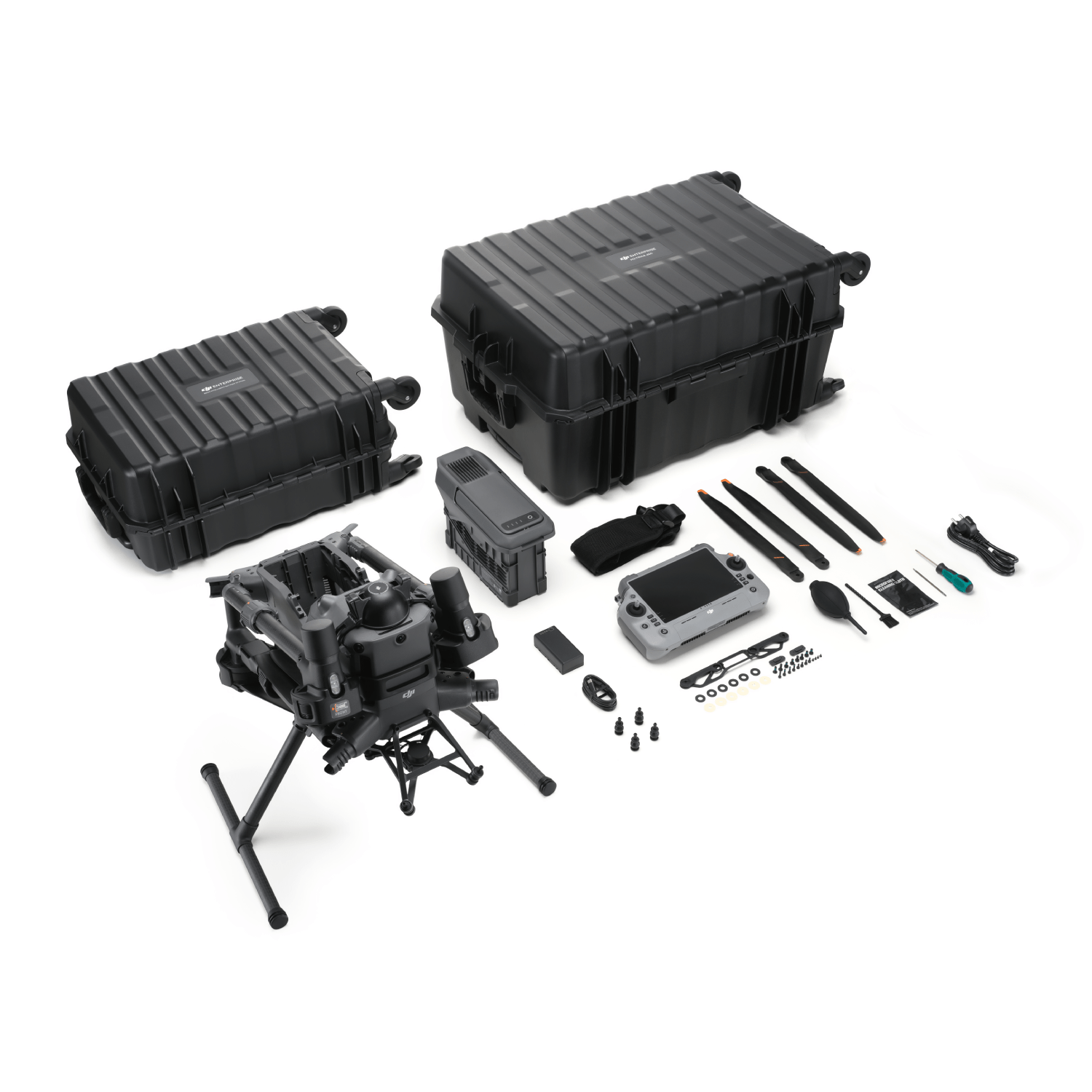
In the Box
DJI Matrice 400 Combo SP Plus (Drone only) - NO BS100 or TB100
- 1 x Aircraft (with Propeller holder)
- 2 x Landing Gear
- 2 x Propellers (Pair)
- 1 x WB37 Intelligent Battery
- 1 x Remote Controller (DJI RC Plus 2)
- 1 x Power Cable
- 1 x USB-C to USB-C Cable
- 1 x Remote Controller Strap and Bracket (with two screws)
- 4 x Gimbal Dampers
-
6 x Propeller Washers and Screws
- 1 X Screws and Tools (1 Tool and 4 Screws)
- 1 x Cleaning Tools
- 1 x Rubber Port Covers and Screws (1 Rubber port and 4 screws)
- 1 x Carrying Case
DJI Matrice 400 Ready-To-Fly Combo with SP Plus
- 1 x Aircraft (with Propeller holder)
- 2 x Landing Gear
- 1 x BS100 Battery Station
- 1 x TB100 Battery
- 2 x Propellers (Pair)
- 1 x WB37 Intelligent Battery
- 1 x Remote Controller (DJI RC Plus 2)
- 1 x Power Cable
- 1 x USB-C to USB-C Cable
- 1 x Remote Controller Strap and Bracket (with two screws)
- 4 x Gimbal Dampers
-
6 x Propeller Washers and Screws
- 1 X Screws and Tools (1 Tool and 4 Screws)
- 1 x Cleaning Tools
- 1 x Rubber Port Covers and Screws (1 Rubber port and 4 screws)
- 1 x Carrying Case
Need more information?
Estimate shipping
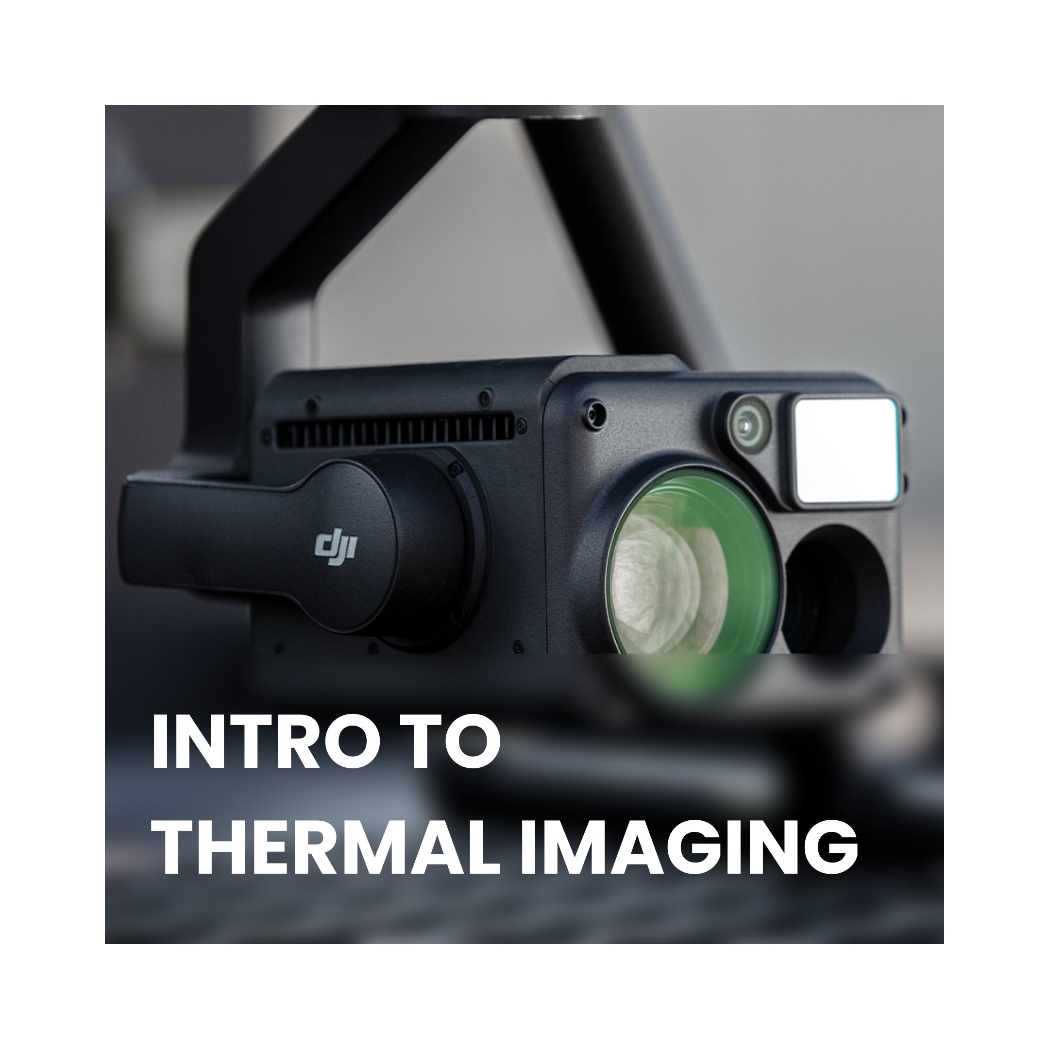
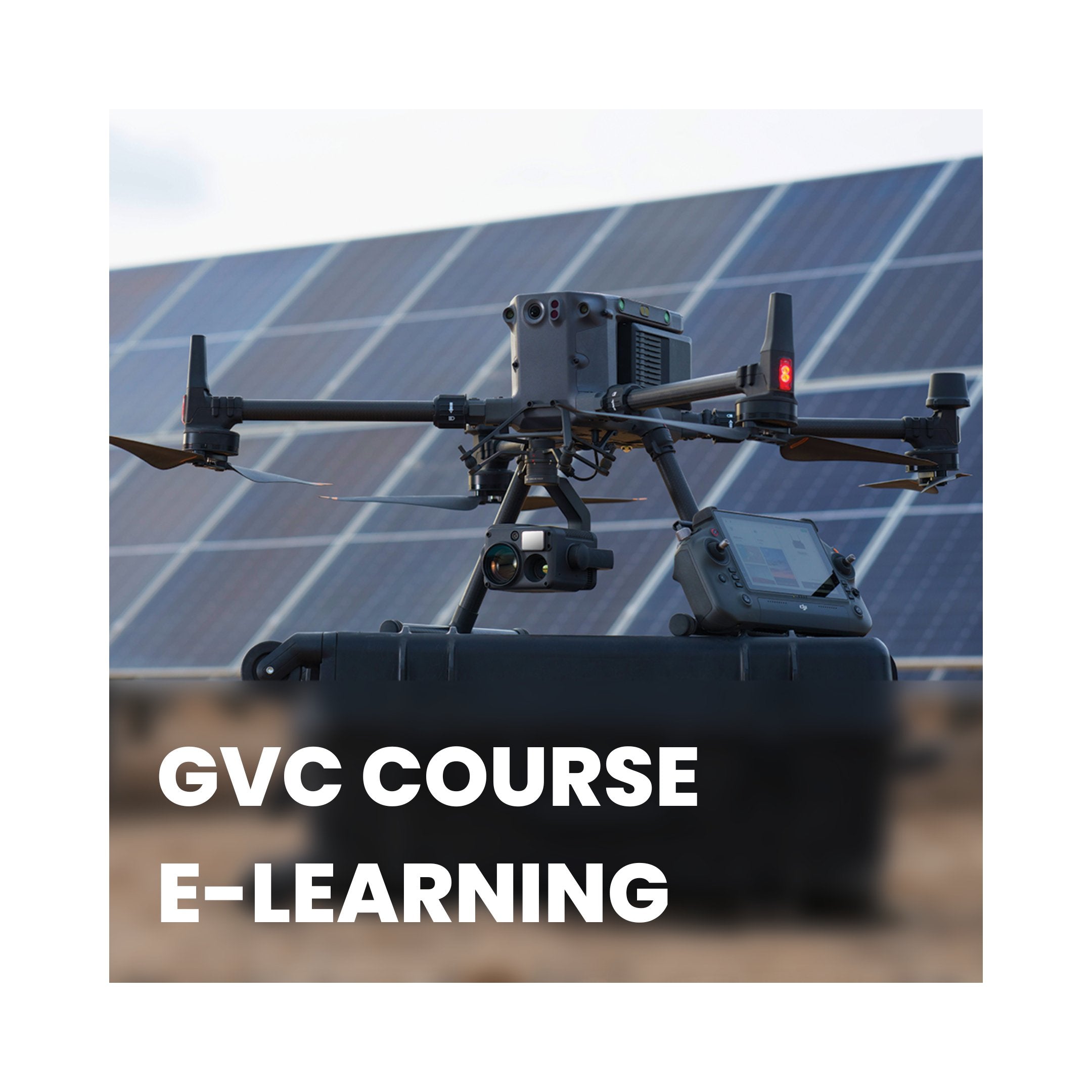
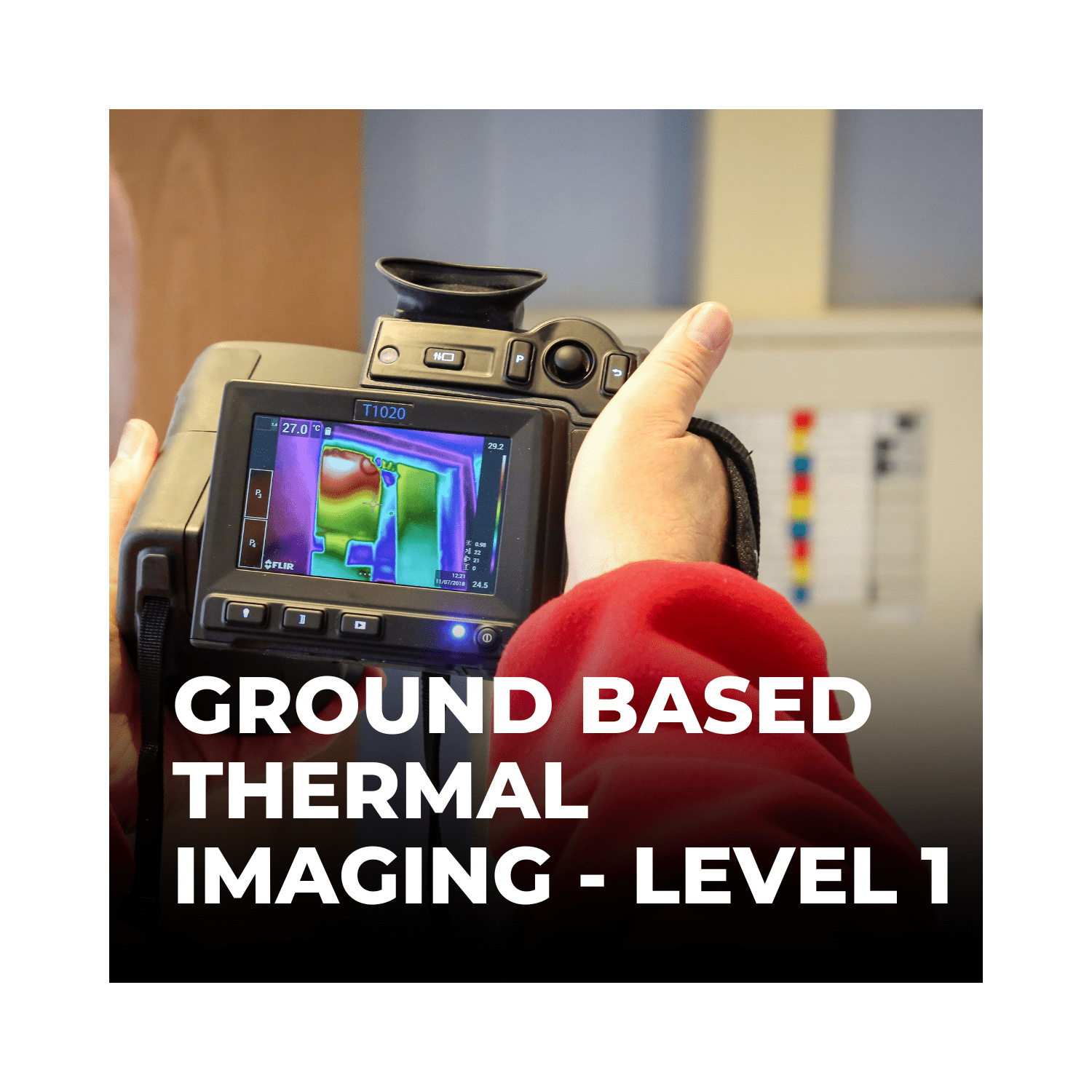
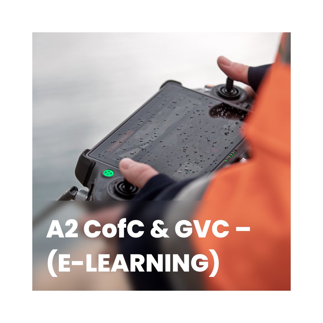
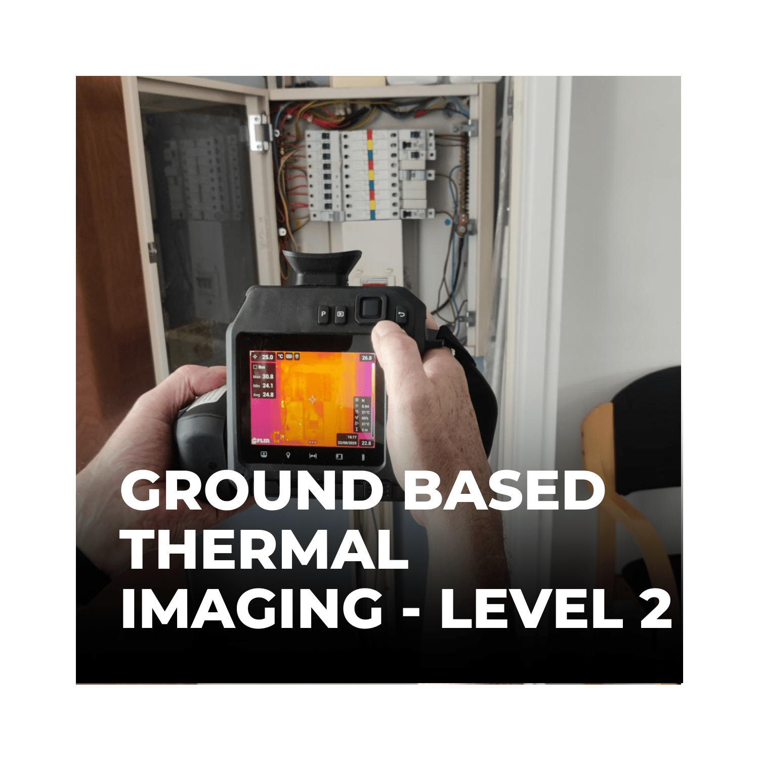
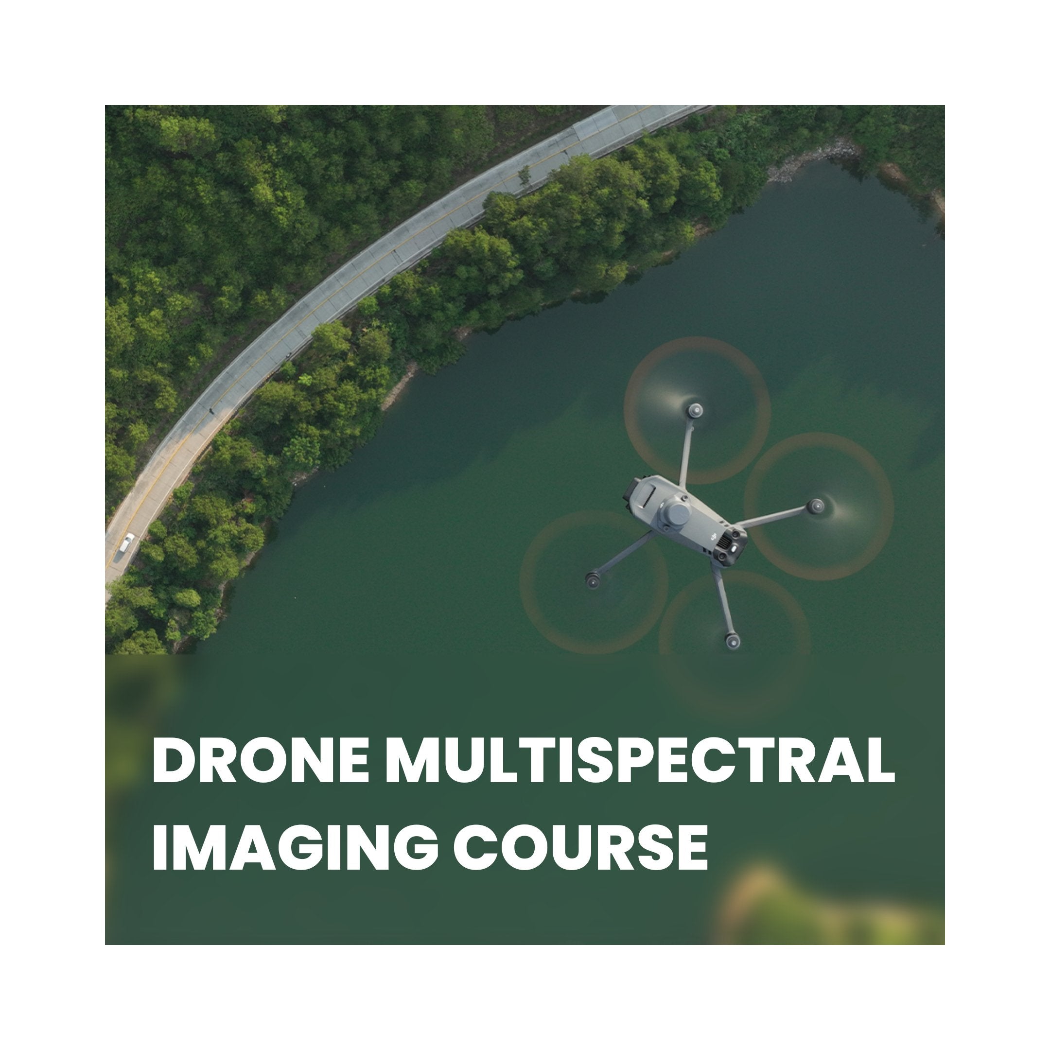
Need Training?
Browse our range of courses designed to get you started in the drones and remote sensing industry. From required, CAA approved training to learning how to operate advanced remote sensing equipment, iRed have you covered.
Browse Training Courses