Description
DJI Matrice 4 Series: Compact, Intelligent, and Built for Enterprise Applications
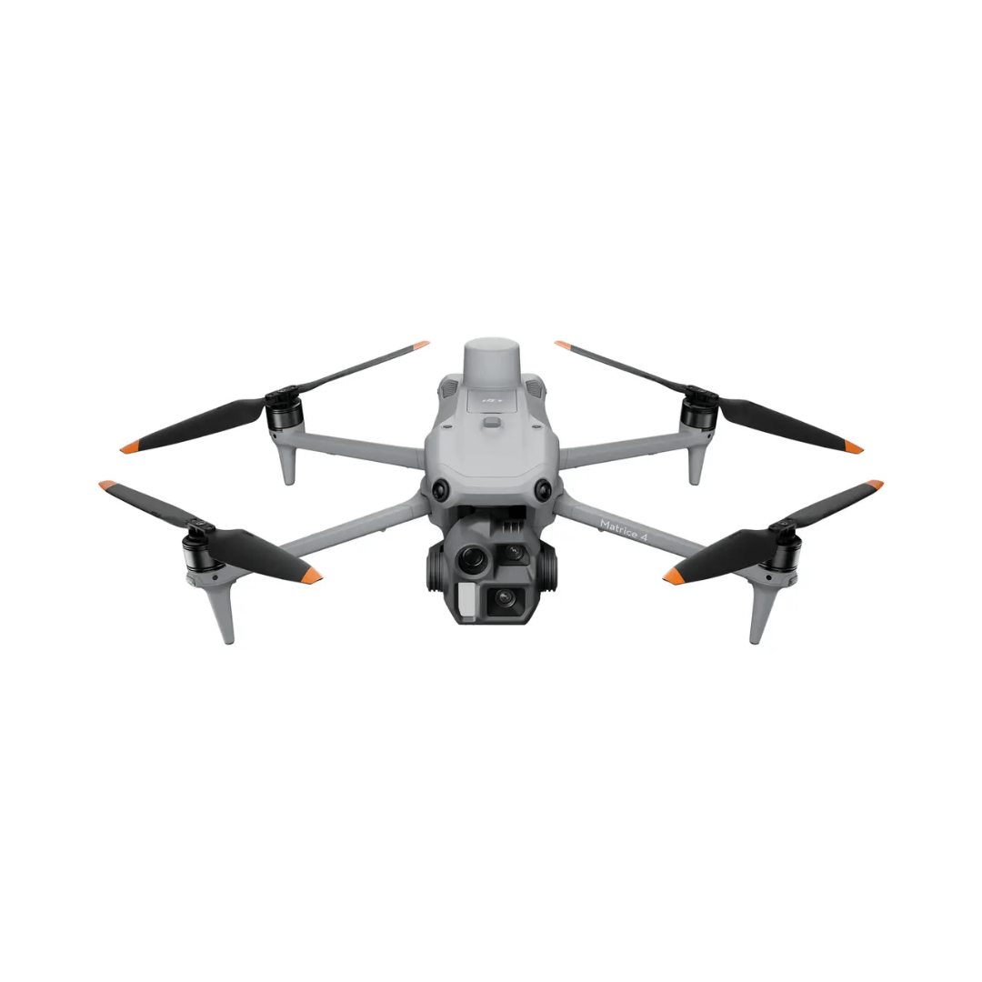
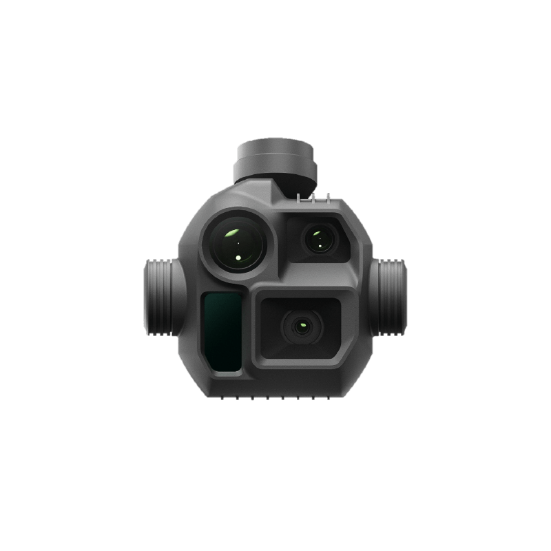
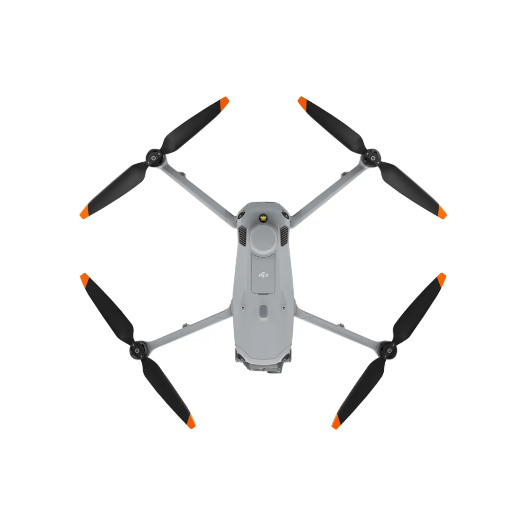
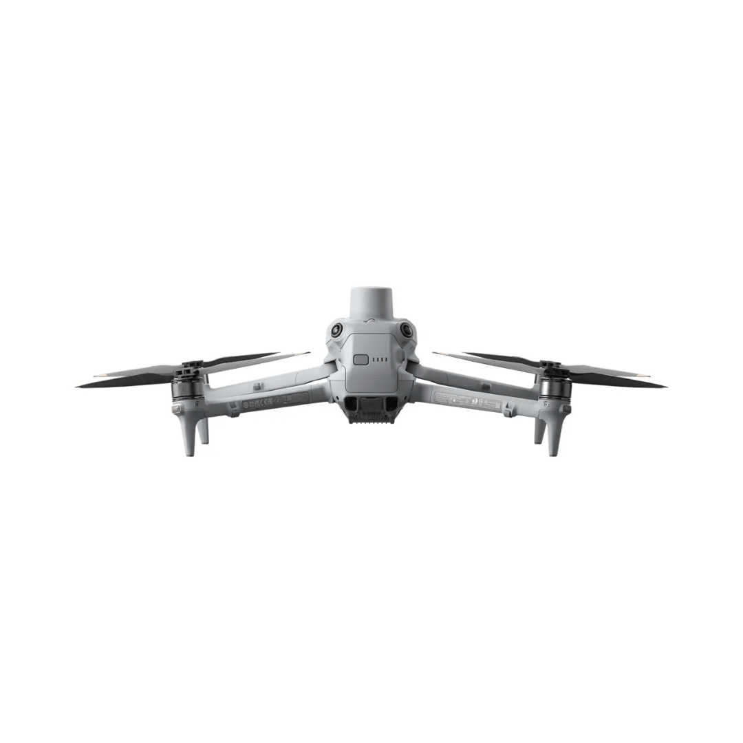
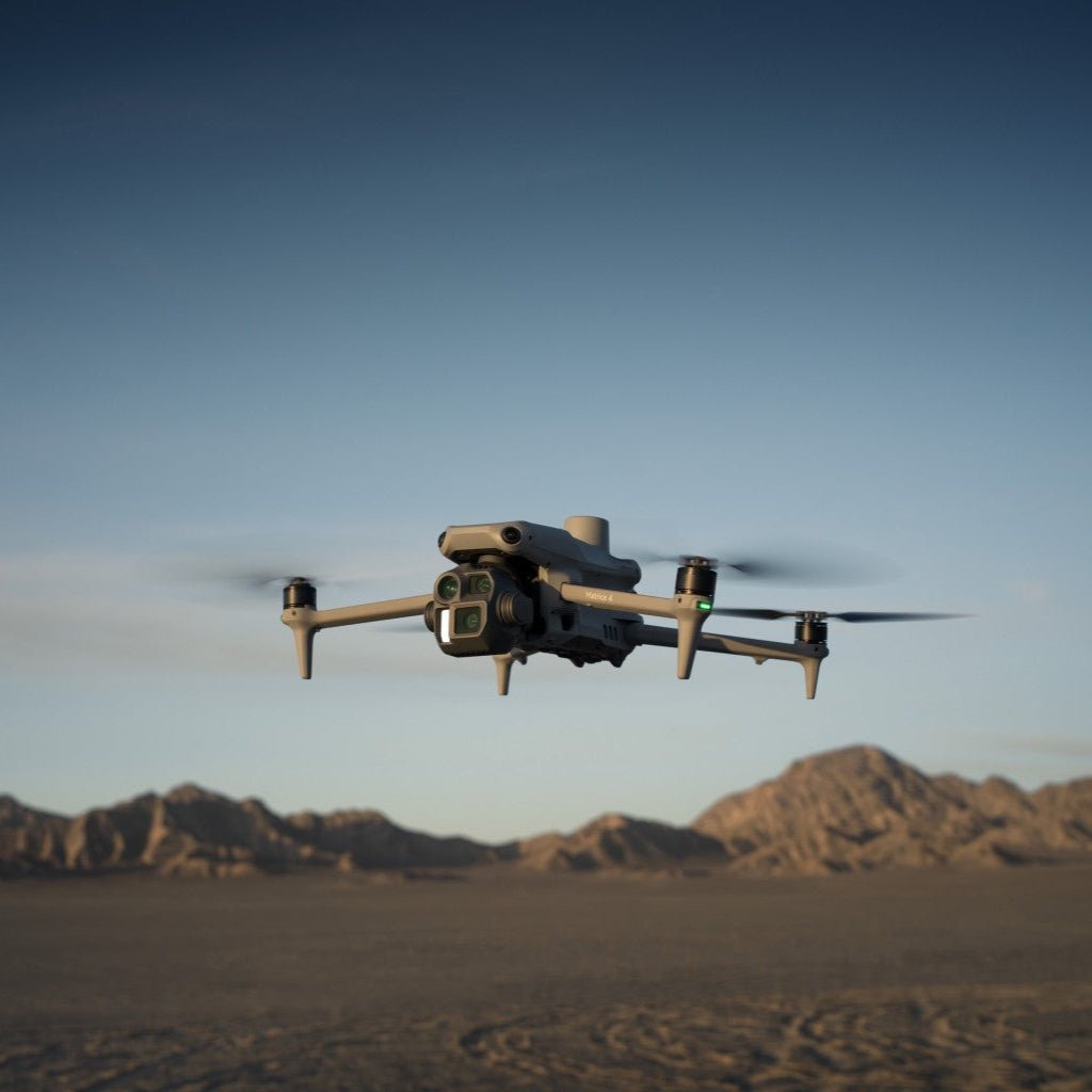
Introducing the DJI Matrice 4 Series, a cutting-edge multi-sensor drone lineup tailored for enterprise industries. The series features two models: the Matrice 4T and Matrice 4E, both equipped with advanced AI capabilities and a laser range finder for precise detection and measurement.

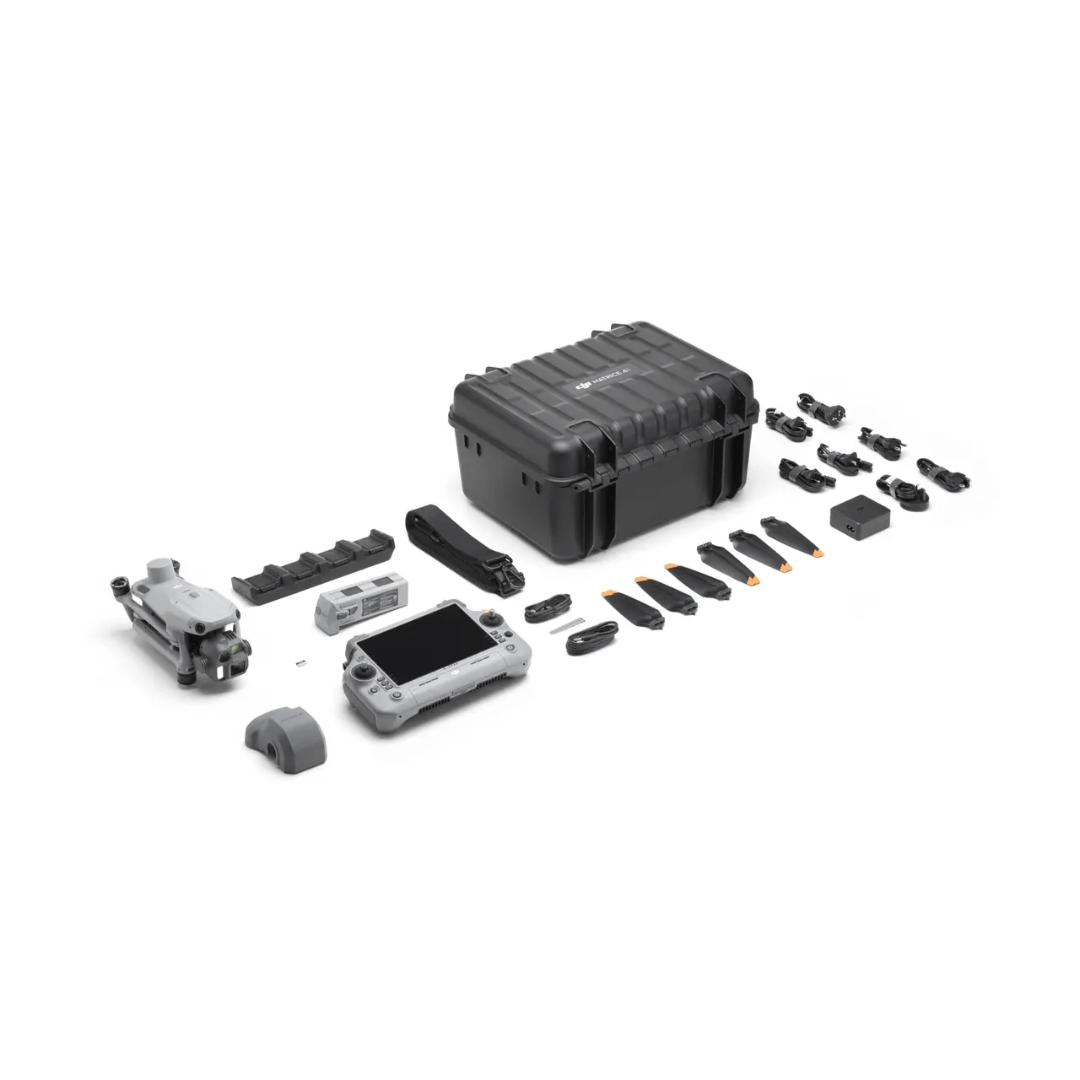
With enhanced sensing technologies and AI-driven operations, these drones deliver safer and more reliable flight experiences. The series also comes with upgraded accessories, further enhancing functionality and performance.
-
Matrice 4T: Ideal for industries like electricity, emergency response, public safety, and forestry conservation.
Matrice 4E: Specially designed for geospatial tasks such as surveying, mapping, construction, and mining.
Unleash the potential of your enterprise operations with the DJI Matrice 4 Series!
DJI Matrice 4E: Redefining Surveying and Mapping Efficiency
The DJI Matrice 4E (M4E) brings unmatched performance and precision to geospatial applications, designed to streamline surveying and mapping operations with advanced features and intelligent capabilities.
Key Advantages for Surveying and Mapping
High Efficiency
- Extended Flight Time: Equipped with an RTK module, the M4E offers a maximum flight time of 49 minutes—6 minutes longer than the M3E with RTK.
- Multi-Directional Capture: Achieve higher efficiency with 3-directional ortho capture and 5-directional oblique capture, enhancing mapping productivity by 40% compared to conventional methods.
-
Enhanced Flight Performance: Fly at speeds up to 21m/s and capture images with an interval as short as 0.5 seconds.
Precision Enhancement
- Advanced Distortion Correction: The upgraded Distortion Correction 2.0 ensures in-camera precision with residual distortion under 2 pixels. Each M4E wide-angle camera undergoes factory calibration, and when paired with DJI Terra, delivers superior reconstruction accuracy.
Simplified Operation
- Smart 3D Capture: The integrated DJI Terra modeling capability on the remote controller enables precise mapping route generation and detailed 3D modeling.
- Advanced Obstacle Avoidance: Easily navigate complex environments and complete close-range modeling with confidence.
Recommended Application Scenarios with M4E
1. Large-Scale Mapping
-
Advantages:
- Extended flight time for more effective mapping operations.
- Multi-directional capture improves efficiency.
- 0.5-second interval shooting enables high-speed mapping.
-
Ideal For:
- Surveying and mapping companies.
- Planning organizations.
- Government departments.
2. Small-Scale Detailed Building Modeling
-
Advantages:
- Smart 3D capture and advanced RC Plus 2 for precise modeling.
- No extra devices needed for close-range mapping route planning.
- Enhanced obstacle avoidance for safe drone operation in complex environments.
-
Ideal For:
- Architectural heritage conservation organizations.
- Architectural design firms.
- Fire departments.
- Digital archiving specialists.
3. High-Resolution Asset Surface Inspection
-
Advantages:
- Triple tele cameras for versatile zoom capabilities.
- Smart photo and spotlight for superior low-light image quality.
- Vision positioning for operations in low-GNSS and confined spaces.
- Ideal For:
-
- Building maintenance companies.
- Bridge inspection teams.
- Power line inspection firms.
Experience unparalleled efficiency, accuracy, and ease of use with the DJI Matrice 4E, your ultimate solution for professional surveying and mapping.
Need more information?
Estimate shipping
Need Training?
Browse our range of courses designed to get you started in the drones and remote sensing industry. From required, CAA approved training to learning how to operate advanced remote sensing equipment, iRed have you covered.
Browse Training Courses
