Description
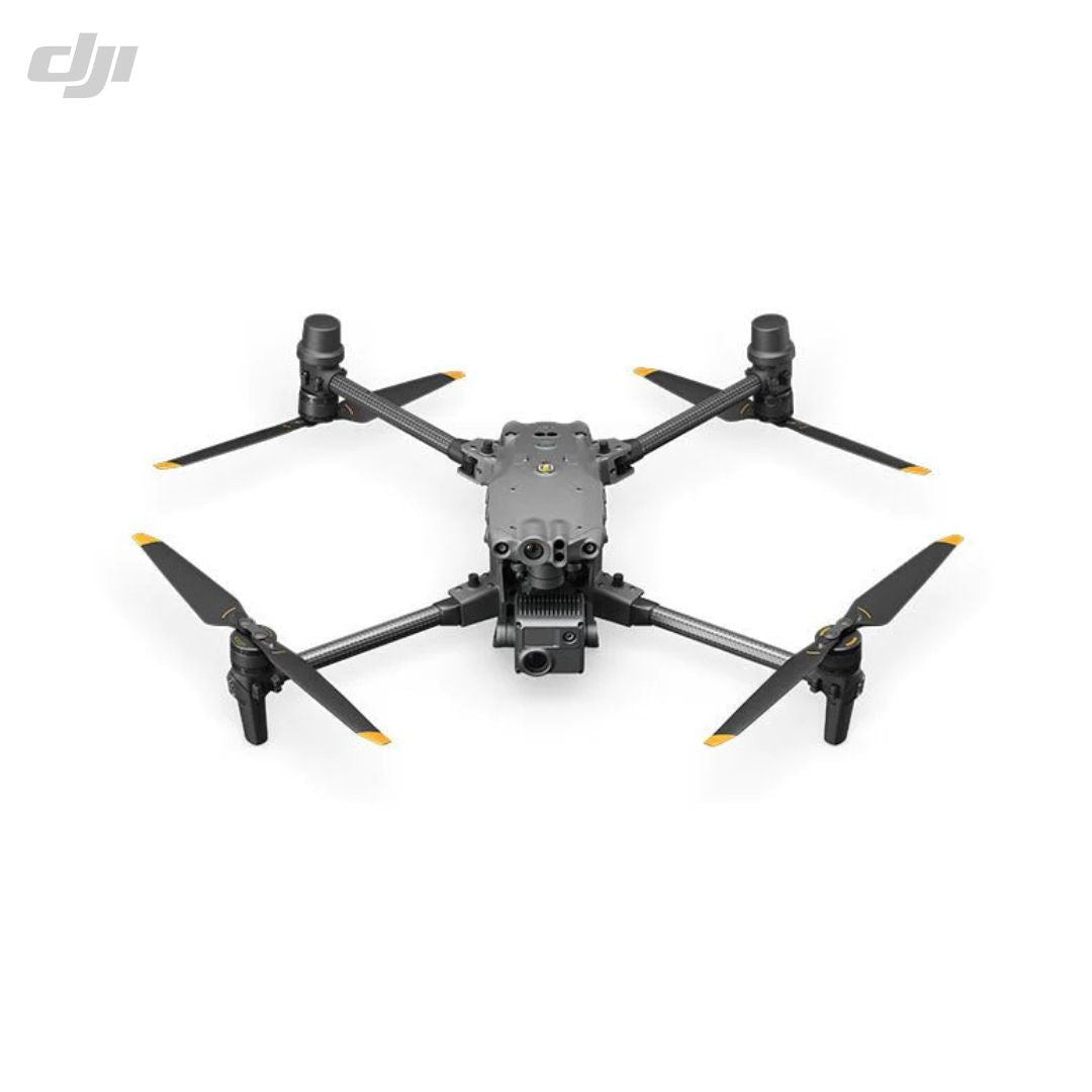
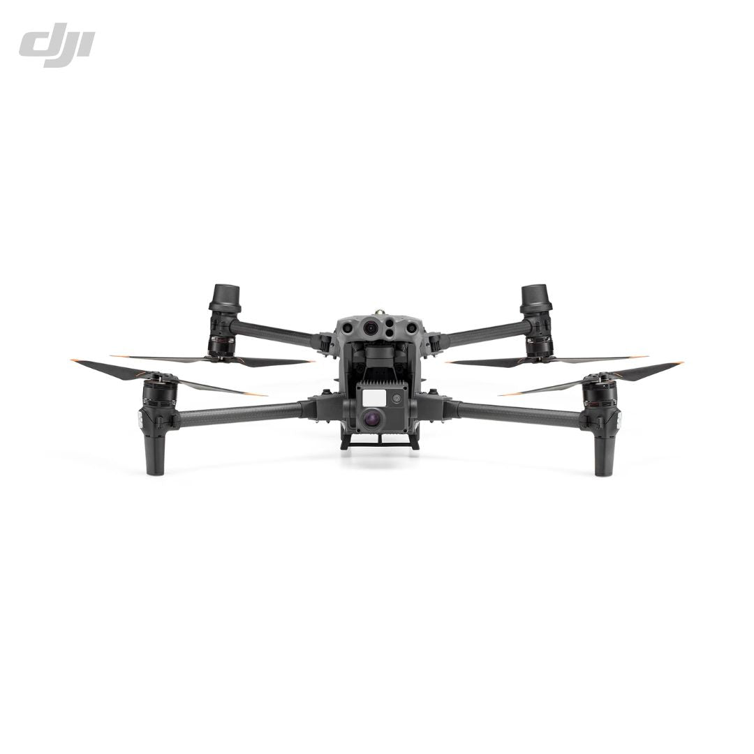
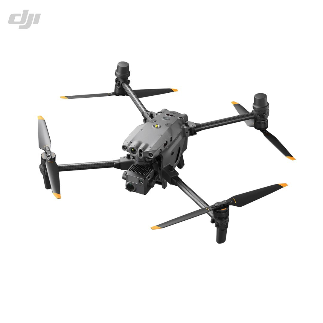
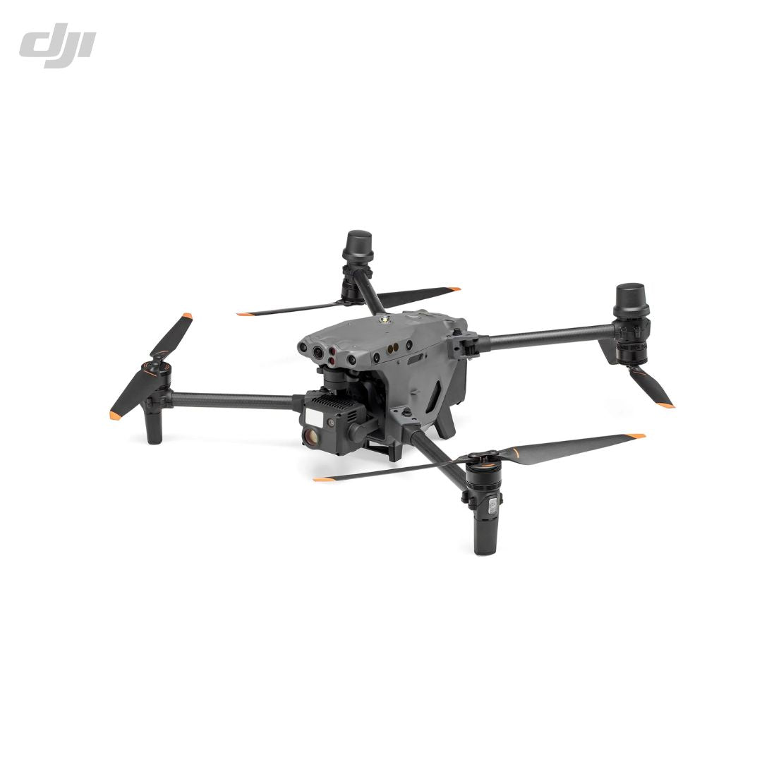
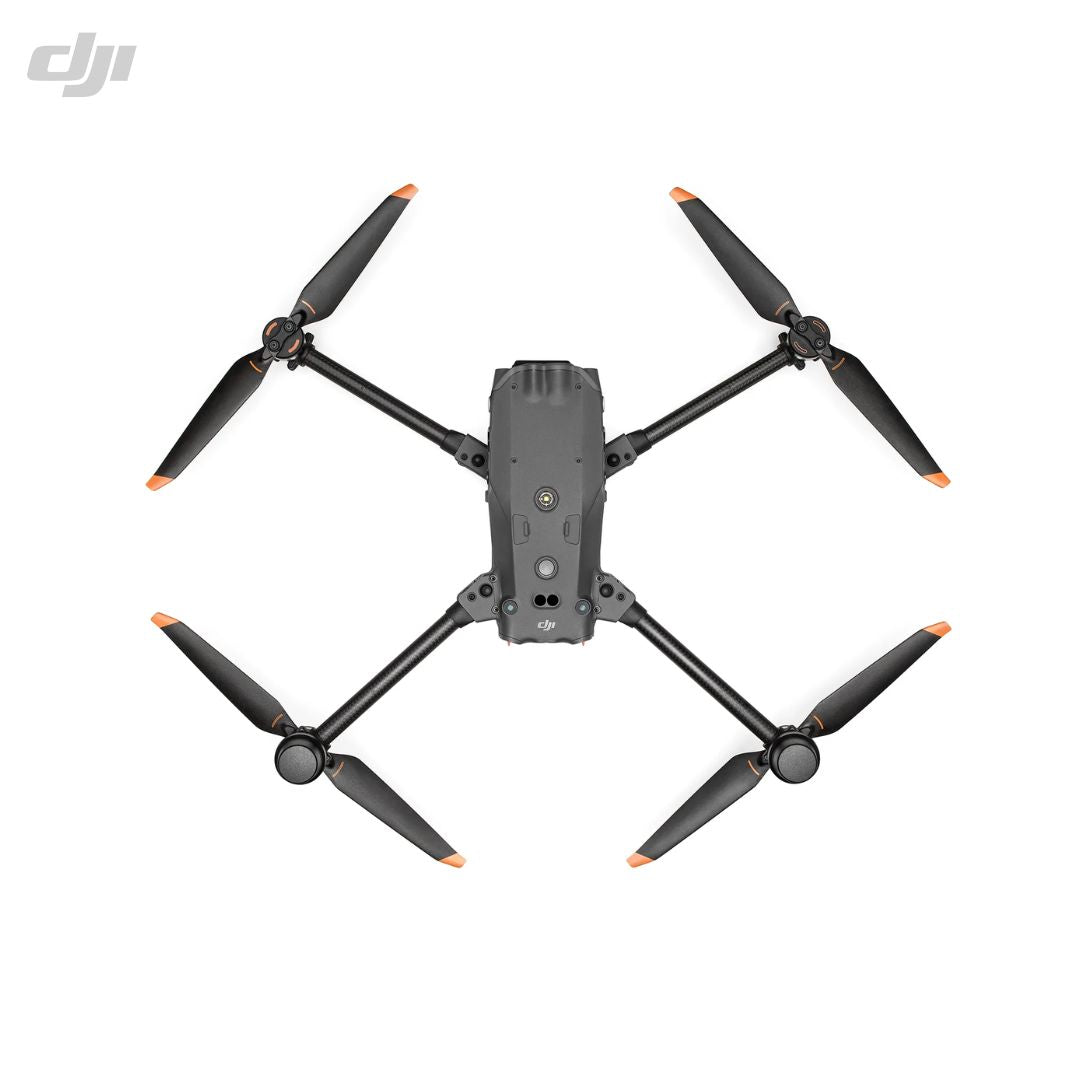
The DJI Matrice 30 is a lightweight, portable, and rugged commercial drone designed to deliver higher operational efficiency. It can fly for up to 41 minutes and can bear adverse environmental conditions with IP55 protection rating. It features a 48MP zoom camera, a 84° FOV wide-angle camera, and a laser rangefinder to provide superior image quality across variety of drone operations. It is also seamlessly compatible with the DJI Dock.
The Matrice 30 is a professional-grade drone that is designed for a variety of commercial applications, including security, inspections, search and rescue missions.
Specifications
Aircraft Details |
|
|
Dimensions: |
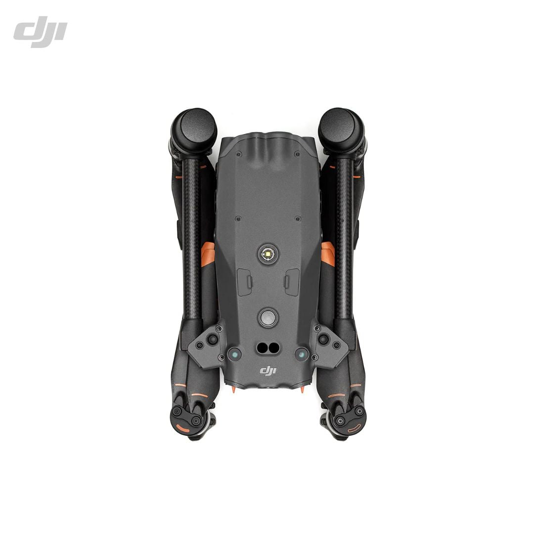
470×585×215 mm (unfolded, excl. propellers) 365×215×195 mm (folded) |
|
Weight: |
(incl. two batteries): 3780 g |
|
MTOW: |
4069 g |
|
Operation Frequency: |
2.4000-2.4835 GHz; 5.725-5.850 GHz |
|
Transmitter Power: |
(EIRP) 2.4 GHz |
|
Hovering Accuracy: |
Vertical ±0.1 m (Vision System enabled); ±0.5 m (N-mode with GPS); ±0.1 m (RTK) Horizontal ±0.3 m (Vision System enabled); ±1.5 m (N-mode with GPS); ±0.1 m (RTK) |
|
RTK Position Accuracy: |
1 cm+1 ppm (horizontal) 1.5 cm+1 ppm (vertical) |
|
Max. Angular Velocity: |
Pitch 150°/sec Yaw 100°/sec |
|
Max. Pitch Angle: |
35° (N-mode and Forward Vision System enabled: 25°) |
|
Max. Ascent Speed: |
6 m/s |
|
Max. Descent Speed: |
5 m/s |
|
Max. Tilt Descent Speed: |
7 m/s |
|
Max. Horizontal Speed: |
23 m/s |
|
Max. Wind Resistance: |
12 m/s |
|
Max. Hover Time: |
36 minutes |
|
Max. Flight Time: |
41 minutes |
|
Motor Model: |
3511 |
|
Propeller Model: |
1671 | 1676 High Altitude (not included) |
|
GNSS: |
GPS+Galileo+BeiDou+GLONASS (GLONASS is supported only when RTK module is enabled) |
|
Operating Temperature: |
-20° to 50° C (-4° to 122° F) |
Accessories
Gimbal |
|
|
Angular Vibration Range: |
±0.01° |
|
Controllable Range: |
Pan ±90° Tilt -120° to +45° |
|
Mechanical Range: |
Pan ±105° Tilt -135° to +60° Roll ±45° |
Zoom Camera |
|
|
Sensor: |
1/2" CMOS, Effective pixels 48M |
|
Lens: |
Focal length 21-75 mm (equivalent 113-405 mm) Aperture f/2.8-f/4.2 Focus 5 m to ∞ |
|
Exposure Compensation: |
±3 ev (using 1/3 ev as step length) |
|
Electronic Shutter Speed: |
(Auto-Mode) Photo 1/8000-1/2 s Video 1/8000-1/30 s |
|
Electronic Shutter Speed: |
(Manual Mode) Photo 1/8000-8 s Video 1/8000 -1/30 s |
|
ISO Range: |
100-25600 |
|
Max. Resolution: |
3840×2160 |
|
Max. Photo Size: |
8000×6000 |
Wide Camera |
|
|
Sensor: |
1/2" CMOS, Effective pixels 12M |
|
Lens: |
FOV 84° Focal length 4.5 mm (equivalent 24 mm) Aperture f/2.8 Focus 1 m to ∞ |
|
Exposure Compensation: |
±3 ev (using 1/3 ev as step length) |
|
Electronic Shutter Speed: |
(Auto-Mode) Photo 1/8000-1/2 s Video 1/8000-1/30 s |
|
Electronic Shutter Speed: |
(Manual Mode) Photo 1/8000-8 s Video 1/8000-1/30 s |
|
ISO Range: |
100-25600 |
|
Max. Video Resolution: |
3840×2160 |
|
Photo Size: |
4000×3000 |
FPV Camera |
|
|
Resolution: |
1920×1080 |
|
DFOV: |
161° |
|
Frame Rate: |
30 fps |
Laser Module |
|
|
Wavelength: |
905 nm |
|
Max. Laser Power: |
3.5 mW |
|
Single Pulse Width: |
6 ns |
|
Measurement Accuracy: |
± (0.2 m + D×0.15%) D is the distance to a vertical surface |
|
Measuring Range: |
3-1,200 m (0.5×12 m vertical surface with 20% reflectivity) |
Vision Systems |
|
|
Obstacle Sensing Range: |
Forward 0.6-38 m Upward/Downward/Backward/Sideward 0.5-33 m |
|
FOV: |
65° (H), 50° (V) |
|
Operating Environment: |
Surfaces with clear patterns and adequate lighting (> 15 lux) |
Infrared Sensing Systems |
|
|
Obstacle Sensing Range: |
0.1 to 10 m |
|
FOV: |
30° |
|
Operating Environment: |
Large, diffuse, and reflective obstacles (reflectivity >10%) |
TB30 Intelligent Flight Battery |
|
|
Capacity: |
5880 mAh |
|
Voltage: |
26.1 V |
|
Battery Type: |
Li-ion 6S |
|
Energy: |
131.6 Wh |
|
Net Weight: |
Approx. 685 g |
|
Operating Temperature: |
-20° to 50° C (-4° to 122° F) |
|
Storage Temperature: |
20° to 30° C (68° to 86° F) |
|
Charging Temperature: |
-20° to 40° C (-4° to 104° F) |
|
Chemical System: |
LiNiMnCoO2 |
Auxiliary Lights |
|
|
Effective Illumination Distance: |
5m |
|
Illumination Type: |
60 Hz, solid glow |
Remote Controller |
|
|
Screen: |
7.02-inch LCD touchscreen, with a resolution of 1920×1200 pixels, and high brightness of 1200 cd/m2 |
|
Internal Battery: |
Li-ion (6500 mAh @ 7.2 V) Supports battery station or USB-C charger maximum rated power 65W (max voltage of 20V) Charge Time is 2 hours Chemical System is LiNiCoAIO2 |
|
External Battery: |
(WB37 Intelligent Battery): Capacity 4920 mAh Voltage 7.6 V Battery Type Li-ion Energy 37.39 Wh Chemical System LiCoO2 |
|
Operating Time: |
Approx. 3 hours 18 min (Internal Battery) Approx. 6 hours (Internal Battery + External Battery) |
|
Ingress Protection Rating: |
IP54 |
|
GNSS: |
GPS+Galileo+BeiDou |
|
Operating Temperature: |
-20° to 50° C (-4° to 122° F) |
O3 Enterprise |
|
|
Operating Frequency: |
2.4000-2.4835 GHz, 5.725-5.850 GHz |
|
Max. Transmission Distance: |
(Free of interference) 15 km (FCC); 8 km (CE/SRRC/MIC) |
|
Max. Transmission Distance: |
(With interference) 1.5-3 km (FCC/CE/SRRC/MIC) | Medium Interference (suburban landscape, open line of sight, some competing signals): 3-9 km (FCC); 3-6 km (CE/SRRC/MIC) | Weak Interference (open landscape abundant line of sight, few competing signals): 9-15 km (FCC); 6-8 km (CE/SRRC/MIC) |
|
Transmitter Power: |
(EIRP) 2.4 GHz |
BS30 Intelligent Battery Station |
|
|
Dimensions: |
(LxWxH): 353×267×148 mm |
|
Net Weight: |
3.95 kg |
|
Compatible Battery Type: |
TB30 Intelligent Flight Battery WB37 Intelligent Battery |
|
Input: |
100-240 VAC, 50/60 Hz |
|
Output: |
TB30 Battery Port 26.1 V, 8.9 A (supported up to two outputs simultaneously) WB37 Intelligent Battery 8.7 V, 6 A |
|
Output Power: |
525 W |
|
USB-C Port: |
Max. output power of 65 W |
|
USB-A Port: |
Max. output power of 10 W (5 V, 2 A) |
|
Power Consumption: |
(when not charging battery) < 8 W |
|
Output Power: |
(when warming up battery) Approx. 30 W |
|
Operating Temperature: |
-20° to 40° C (-4° to 104° F) |
|
Charging Time: |
Approx. 30 min (charging two TB30 batteries from 20% to 90%) Approx. 50 min (charging two TB30 batteries from 0% to 100%) |
In The Box
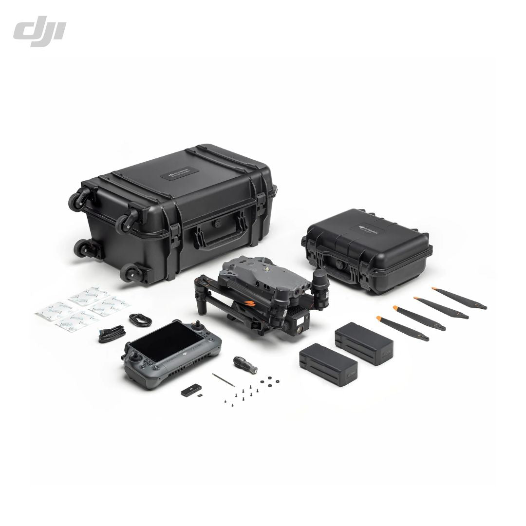
| Aircraft Body |
| BS30 Battery Station |
| Storage Case |
| DJI RC Plus |
Need more information?
Estimate shipping
Need Training?
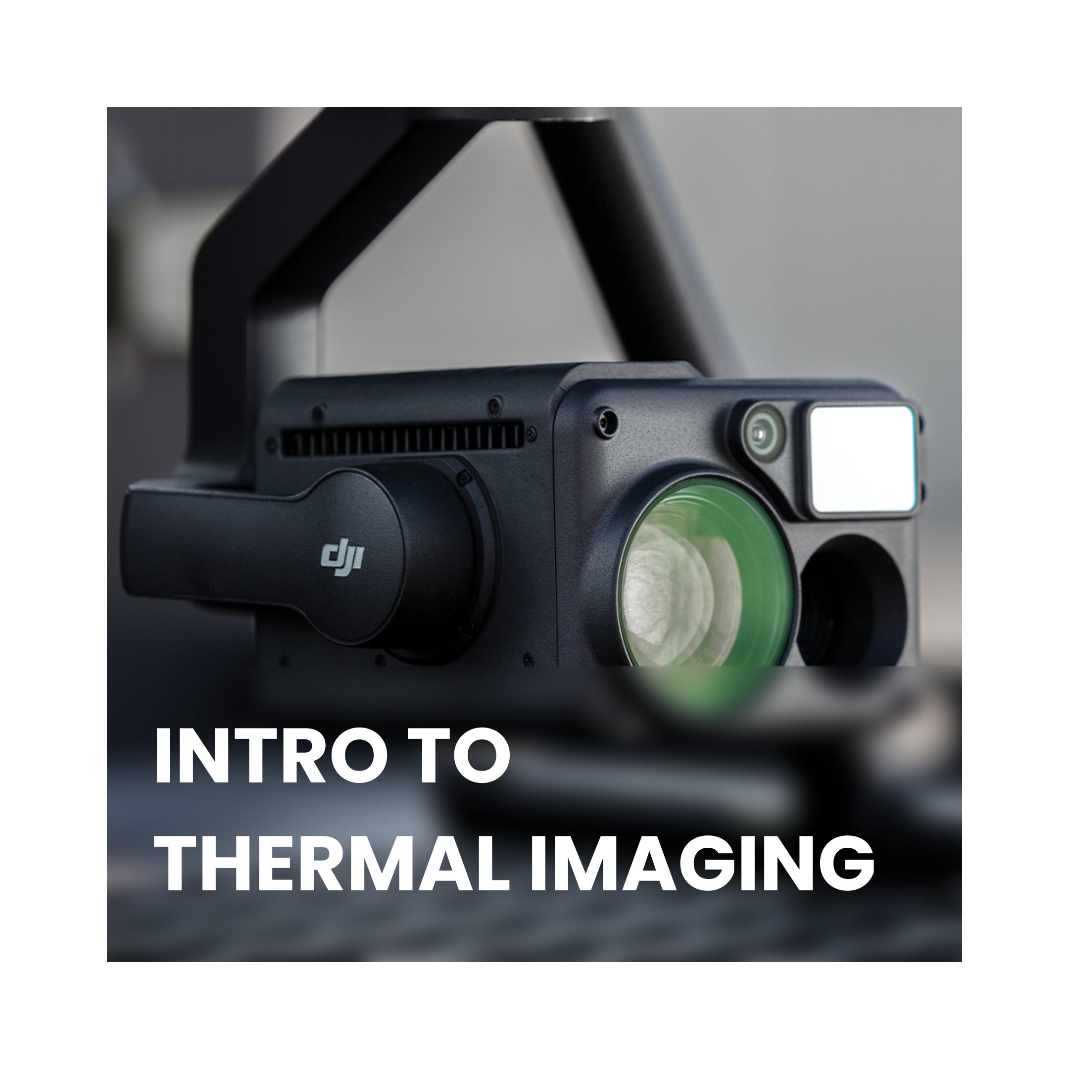
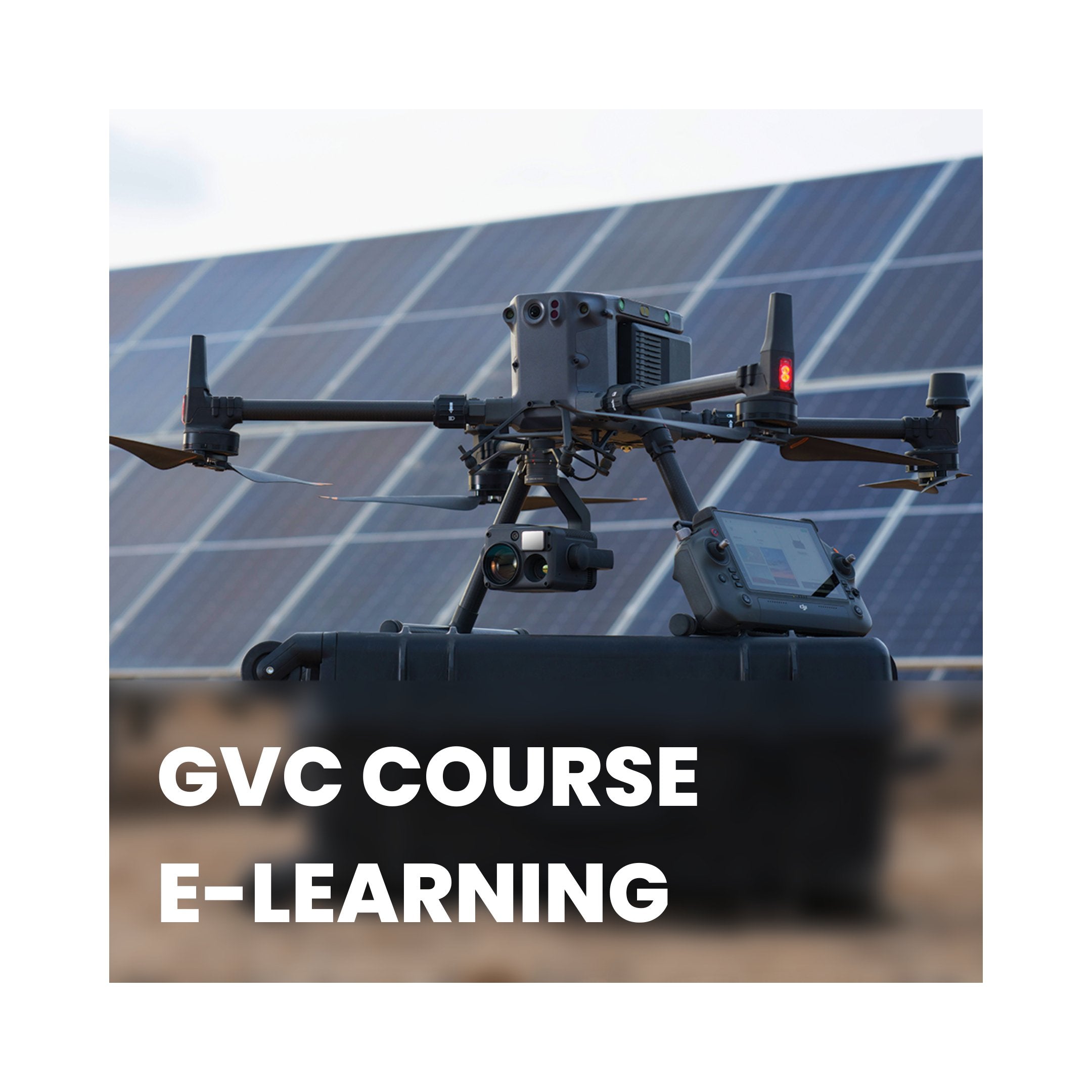
Browse our range of courses designed to get you started in the drones and remote sensing industry. From required, CAA approved training to learning how to operate advanced remote sensing equipment, iRed have you covered.
Browse Training Courses
