Zenmuse L2 is DJI’s latest high-precision LiDAR system and considerably one of the best LiDAR payloads. With this article, let’s take a deep dive to understand all the key features of Zenmuse L2 and how it compares with its previous version, Zenmuse L1.
LiDAR, or Light Detection and Ranging, is a technique for measuring accurate distances using laser light. It's very crucial in various applications, including surveying, mapping, forestry, electricity management, urban planning, etc. By emitting laser pulses and analysing reflections, LiDAR creates detailed 3D maps, impacting fields that demand accurate spatial data and environmental insights.
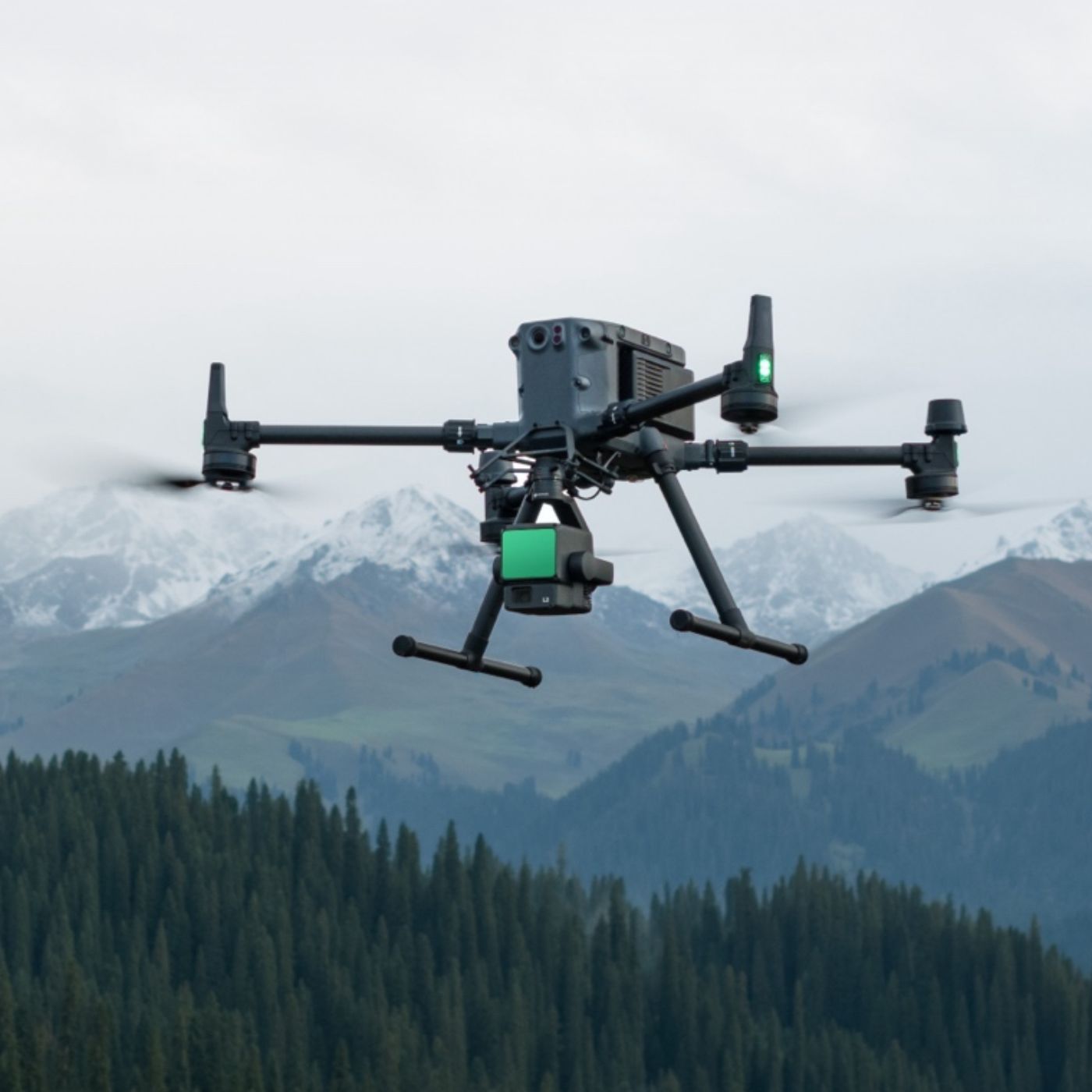
The new DJI Zenmuse L2 consists of a powerful LiDAR module, a high-accuracy IMU system, and a 4/3 CMOS RGB mapping camera, which allows capturing more precise, efficient, and reliable geospatial data. With the use of DJI Terra, it delivers a complete solution for 3D data collection and high-accuracy post-processing.
System Accuracy:
For high-level precision, DJI itself has developed the high-accuracy IMU system for Zenmuse L2, and this new IMU system has significantly enhanced the performance of L2 as there is no warm-up required now and it is ready for use as soon as it's powered on.
Zenmuse L2 can achieve 4cm vertical accuracy and 5cm horizontal accuracy (at 150m altitude and 15 m/s flight speed), whereas Zenmuse L1 is able to achieve 5cm vertical accuracy and 10cm horizontal accuracy (at 50m altitude and 10 m/s flight speed). The overall operating area that can be scanned by Zenmuse L2 in a single flight is 2.5 square kilometres (at 150m altitude and 15 m/s flight speed), whereas Zenmuse L1 can scan 2 square kilometres (at 100m altitude and 13 m/s flight speed).
Detection Range:
Zenmuse L2 offers a 30% increase in detection range when compared to Zenmuse L1. As Zenmuse L2 can detect from 250 metres at 10% reflectivity and 100 kilolux, and up to 450 metres at 50% reflectivity and 0 kilolux, whereas Zenmuse L1 is able to detect from 190 metres at 10% reflectivity and 100 kilolux, and up to 450 metres at 80% reflectivity and 0 kilolux.
Laser Spot Size:
The laser spot size for Zenmuse L2 is 4cm (horizontal) and 12cm (vertical) at 100m altitude, which is only one fifth of Zenmuse L1’s spot size. With smaller laser spots, Zenmuse can capture denser point clouds, making it capable of detecting smaller objects with more details.

Return Points:
Zenmuse L2 supports up to 5 returns, whereas Zenmuse L1 supports a maximum of 3 returns. With more return points, Zenmuse L2 can capture more ground points beneath the foliage to penetrate the denser vegetation and generate more accurate digital elevation models (DEM).

Point Cloud Rate:
The maximum point cloud rate for the single return is 240,000 pts/s for both Zenmuse L2 and L1, but for the multiple returns, Zenmuse L2 can reach a maximum point rate of 1,200,000 pts/s, whereas Zenmuse L1 is able to reach a maximum of 480,000 pts/s.
RGB Mapping Camera:
Zenmuse L2’s RGB mapping camera comes with an increased sensor size of 4/3 inches as compared to Zenmuse L1’s 1 inch sensor size. Also, the minimum photo interval has been reduced to 0.7 seconds for Zenmuse L2, compared to the 2 second minimum shooting interval of Zenmuse L1.
Size and Compatibility:
| Zenmuse L2 | Zenmuse L1 | |
| Dimensions (LxWxH) | 155×128×176 mm | 152×110×169 mm |
| Weight | 905±5 g | 930±10 g |
| Power | Typical 28 W | Max 58 W | Typical 30 W | Max 60 W |
| Supported Aircraft | Matrice 350 RTK and Matrice 300 RTK (requires DJI RC Plus) | Matrice 300 RTK |
| IP Rating | IP54 | IP54 |
All in all, DJI has made significant improvements in Zenmuse L2 to provide a powerful and efficient aerial LiDAR system. The DJI Zenmuse L2 can be highly useful in various applications like land surveying and mapping, topographic mapping, agriculture, forestry management, electricity management, AEC and surveying, energy, infrastructure management, and many more.
1 comment
John MacMillan
The jump from 3 returns to 5 returns is probably the biggest practical upgrade for real world land work. When excavating your property or doing site monitoring on heavily wooded lots, capturing more ground points beneath dense foliage means the grading and dirt work crew gets way more accurate elevation data to work from. The improved horizontal accuracy going from 10cm down to 5cm is a big deal for boundary and layout work to. Good additional resource for anyone planning ground work projects: https://abbotsfordsurveyorservices.ca/