Description
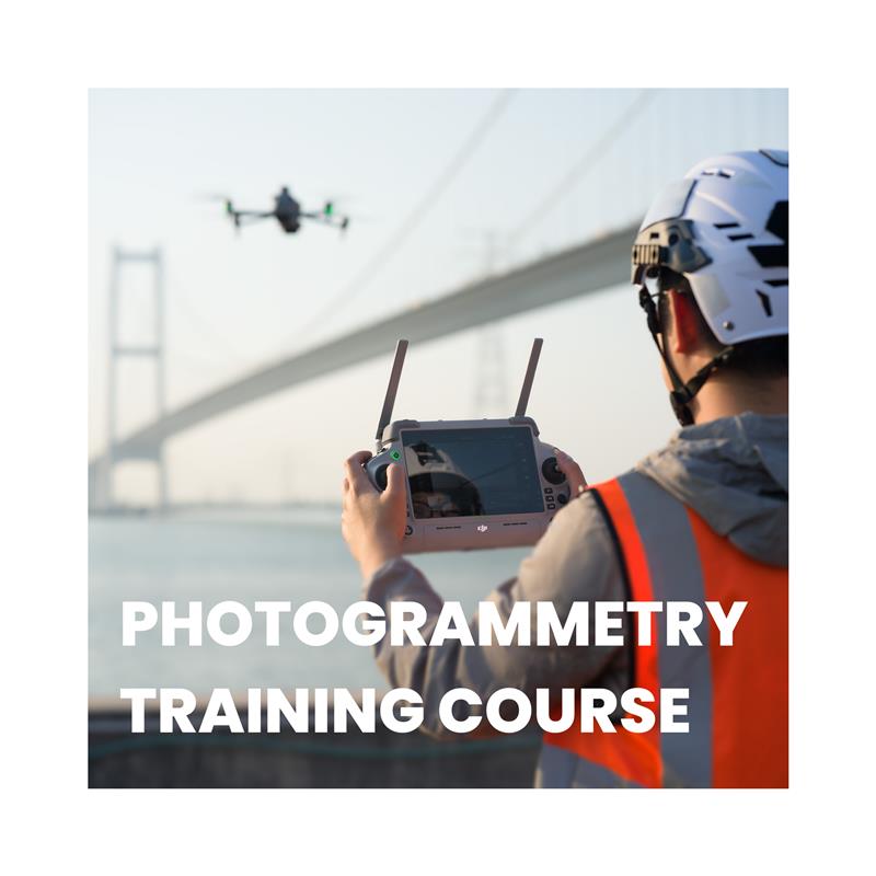
The 5-Day General Drone Photogrammetry Training Course is designed to equip participants with the knowledge and practical skills required to capture, process, and analyse aerial data using drone-based photogrammetry. Covering everything from mission planning and flight operations to 3D Modelling and industry-specific applications, this course ensures a comprehensive understanding of photogrammetric workflows. Participants will gain hands-on experience using professional drone systems and software to generate high-accuracy maps, models, and volumetric analyses applicable across multiple industries. The training also emphasises UK drone regulations, safety protocols, and best practices, ensuring that all operations are conducted legally and efficiently.
Course Overview
Day 1: Introduction to Photogrammetry & Drone Regulations
Objective: Understand the fundamentals of photogrammetry and UK drone regulations.
Topics Covered:
- What is Photogrammetry? Principles and key applications
- Types of Photogrammetry: Aerial (drone-based) vs. terrestrial (ground-based)
- Drone Types & Sensors: RGB cameras, multispectral, LiDAR, and thermal imaging
- CAA Regulations & Compliance: UK drone laws, airspace permissions, and safety protocols
- Photogrammetry Workflow Overview: Data capture, processing, and analysis
- Flight Safety & Risk Assessment: Identifying hazards and mitigation strategies
UK Case Study:
🔹 National Trust & English Heritage – Drone photogrammetry used for historical site preservation and digital reconstruction.
Day 2: Data Collection & Mission Planning
Objective: Develop practical skills in flight planning, image acquisition, and data accuracy.
Topics Covered:
- Pre-Flight Planning: Software tools (Pix4D, DroneDeploy, DJI Terra) and mapping strategies
- Flight Path Optimisation: Overlap, altitude settings, and ground sampling distance (GSD)
- Capturing High-Quality Data: Best practices for image sharpness and GPS accuracy
- Ground Control Points (GCPs): Their role in increasing mapping precision
- Automated vs. Manual Flight Planning: When to use each method
- Hands-on Drone Flight Session: Capturing imagery for later processing
UK Case Study:
🔹 Scottish Highlands Reforestation Project – Using drones for mapping deforested areas and planning replanting efforts.
Day 3: Photogrammetry Data Processing & 3D Modelling
Objective: Learn to process aerial images into detailed 2D and 3D models.
Topics Covered:
- Processing Software Overview: Pix4D, Agisoft Metashape, RealityCapture
- Creating Orthomosaics & Digital Elevation Models (DEMs)
- Generating 3D Point Clouds & Meshes: Converting images into usable models
- Colour Correction & Image Optimisation: Enhancing visual data accuracy
- Georeferencing & Accuracy Checks: Ensuring precision in mapping outputs
- File Formats & Data Export: Integrating photogrammetric models into GIS, CAD, and BIM
UK Case Study:
🔹 River Thames Flood Risk Assessment – Using drone photogrammetry to monitor flood-prone areas and improve mitigation strategies.
Day 4: Industry-Specific Applications of Photogrammetry
Objective: Apply photogrammetry to real-world scenarios across various industries.
Topics Covered:
- Construction & Surveying: Site mapping, progress tracking, and volumetric analysis
- Agriculture: Crop health monitoring using multispectral imaging
- Environmental Monitoring: Coastal erosion tracking, forestry analysis, and wildlife conservation
- Disaster Response & Emergency Services: Post-incident assessments and search-and-rescue mapping
- Mining & Quarrying: Stockpile measurement and extraction site monitoring
- Urban Planning & Smart Cities: Infrastructure assessments and digital twin modelling
UK Case Study:
🔹 Cornwall Coastal Erosion Study – How drone photogrammetry helps assess and manage coastline changes due to climate change.
Day 5: Final Assessment & Certification
Objective: Evaluate participants' ability to capture, process, and analyse photogrammetric data.
Assessment Components:
✅ Drone Flight Test: Conducting a photogrammetric survey of a designated area
✅ Data Processing Task: Generating an orthomosaic and 3D model from collected images
✅ Industry-Specific Application Task: Presenting findings and potential uses in a chosen sector
✅ Accuracy & Quality Evaluation: Assessing GCP alignment and data reliability
✅ Final Review & Certification: Feedback session and awarding of the General Drone Photogrammetry Certification
Course Outcome
Upon completion, participants will be certified in Drone Photogrammetry and equipped with the skills to conduct aerial surveys, 3D mapping, and industry-specific analyses while ensuring regulatory compliance in the UK.
Who Should Attend?
This course is ideal for surveyors, engineers, construction professionals, environmental scientists, emergency responders, and drone operators looking to integrate photogrammetry into their workflows. It is also highly beneficial for GIS specialists, archaeologists, mining professionals, and urban planners who require accurate aerial data for mapping, monitoring, and analysis. Whether you are new to drone photogrammetry or looking to refine your expertise, this course provides the technical foundation and practical experience needed to apply aerial mapping techniques effectively in real-world scenarios.

