

Autel
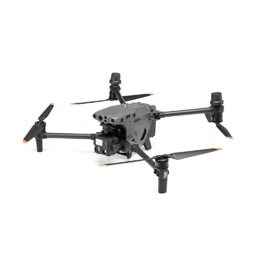
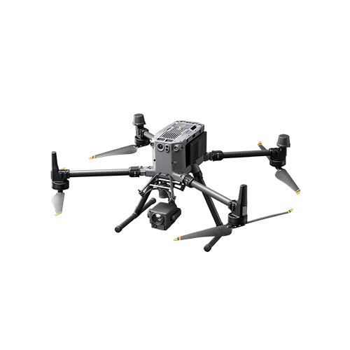
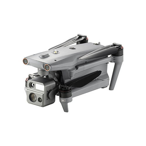
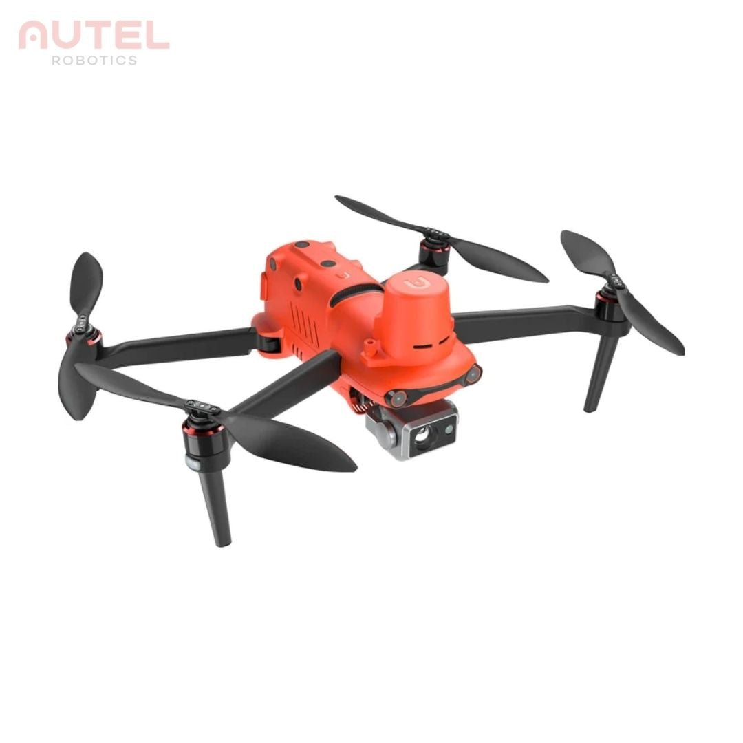
Autel EVO II Dual 640T RTK V3 Drone
Price excluding VAT
Autel EVO II Dual 640T RTK V3 Drone
Orange
iRed
The Old Flour Mill
Unit 6
Emsworth PO10 7BT
United Kingdom
Finance and business invoice options available
Special Order - This product is available on enquiry but may require extra time for delivery.
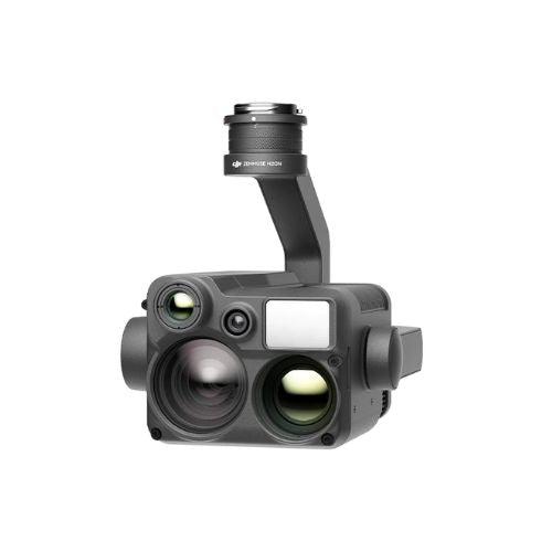
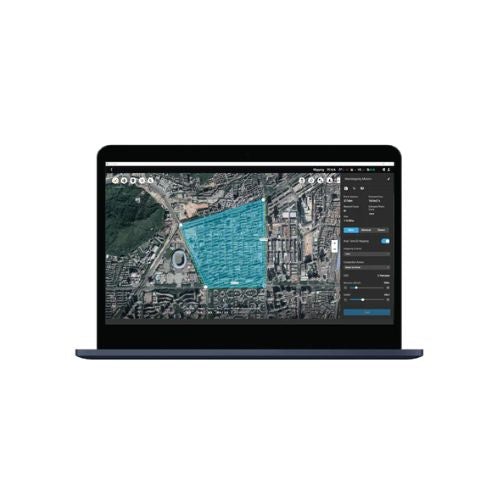
EVO 2 RTK Series V3 provides unrivalled accuracy and control with its ability to provide real-time centimetre-level positioning data. The Autel EVO 2 Dual 640T RTK V3 is equipped with dual cameras, a 640x512 high-resolution thermal imaging camera and an all new 0.8" 50 megapixel RYYB sensor. It also offers various advanced feature sets to make drone mapping missions more efficient.
Autel EVO II Dual 640T RTK V3 is designed to provide maximum accuracy and control in thermal imaging drone operations.
We are here to help!
If you're having trouble finding the product you're looking for, please don't hesitate to reach out to us. We're here to help you out in getting the perfect product of your choice.
Email: hello@ired.co.uk | Call: 01243370296
FAQ
General
While purchasing, you should consider various factors such as intended uses, product specifications, operating environment, budget, etc.
Our team of experts is also available to assist you in making the best choice. Please feel free to reach out to us via email: hello@ired.co.uk or phone: 01243370296
You can find the basic details of each product on the website itself. If you want more information related to any of the products available on our website, feel free to reach out to our experts via email: hello@ired.co.uk or phone: 01243370296
We accept all kinds of digital payment methods, including credit cards, PayPal, ShopPay, and other secure online payment options. You can also choose to pay via bank deposit or purchase order.
No, all the prices shown on our website exclude taxes. As per the government norms, we charge 20% VAT, and it gets calculated during the checkout process.
Support
We are official partners with the brands available on our website, if you are not able to find your desired product, please contact us via email: hello@ired.co.uk or phone: 01243370296 and we will try our best to get that product arranged for you.
Yes, we do provide discounts for bulk or corporate orders. For personalised assistance and pricing, please contact our sales team via email: hello@ired.co.uk or phone: 01243370296
Absolutely! The products available on our website come with a standard warranty provided by their manufacturer brands. We also provide options to extend the warranty.
Yes, definitely. We have our own team of experts for repairs and servicing. We can also get your products repaired via the manufacturer's brand.
For businesses, we also provide service-level agreements and support contracts.
Shipping
Yes, we provide free shipping across the UK for orders above £199. For international orders and orders below £199, shipping charges are calculated during the checkout process.
It completely depends on where you are. Orders processed in the UK will take 1–3 business days to arrive. Overseas deliveries can take anywhere from 5 to 15 business days for air freight. All the delivery details will be provided to you in the confirmation email.
Once your order is confirmed, you will receive status updates and shipping details via email. You can use these shipping details to track the status of your shipment through our website or the shipping carrier's site.
Yes, you can! It usually takes us about 24 hours to prepare your order, after that it can be picked up from our store located at Unit 6, The Old Flour Mill, Queen St, Emsworth PO10 7BT Hampshire - United Kingdom
Yes, the products can be returned if there are any manufacturing defects.In the unfortunate circumstance that you discover an issue with any products you have purchased from us, please contact us immediately at hello@ired.co.uk providing full details of the issue.
Yes, we ship internationally as well. Shipping options and costs may vary, so please review the shipping information during the checkout process.
Other
Our team is happy to assist you with any kind of information or help you need, please reach out to us via email: hello@ired.co.uk or phone: 01243370296 for any queries.
For some of the special products, prices are provided on request. In such a scenario, please reach out to our team via email: hello@ired.co.uk or phone: 01243370296

